
Driving Yellowhead Highway 16: Road Trip Stops Haida Gwaii to Mt. Robson (EV-Friendly)
I may earn income from affiliate links or partnerships in this post. I spend time to curate tours or products that align with my values. Thanks for supporting my work, at no additional cost to you. All words and images on this website are created by real people.
Are you curious about embarking on a road trip adventure across Northern British Columbia? Driving Canada’s Yellowhead Highway 16 from Haida Gwaii to Mt. Robson, passing Prince Rupert, Smithers, and Prince George, is a fantastic road trip route! This stretch of highway is culturally and ecologically interesting, with small towns, campgrounds, historic sites, Indigenous culture, and provincial parks ideal for road tripping.
The route connects some of the most incredible places in Canada, including the mountainous Rockies and the coastal islands of Haida Gwaii, for a once-in-a-lifetime road trip everyone should do at least once.
My complete guide for driving the Yellowhead Highway 16 in British Columbia includes all the best stops on Highway 16 and tips for a memorable road trip.
I live in British Columbia, so I’ve done this route in two parts: first west to east from Haida Gwaii to Prince George, and the second part east to west driving from Mt. Robson to Prince George. Whether you are driving it in one go or breaking it up into different trips, this guide will help you plan and execute your road trip, covering all the best stops and highlights along the way.
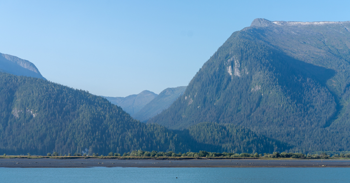
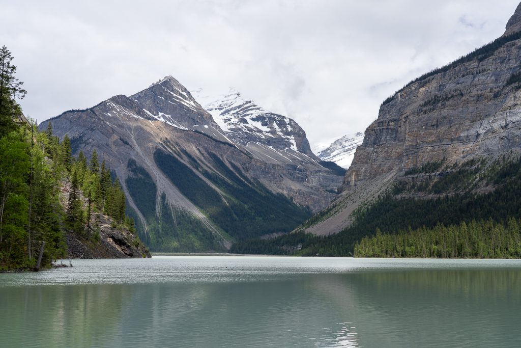
The Yellowhead Highway 16 is bookended by ancient, moss-draped trees of the Great Bear Rainforest in the west and the snow-capped Canadian Rockies to the east.
It is home to diverse Indigenous nations, on the traditional lands of the Ts’msyen and Lheidli T’enneh, among others. To drive this highway sustainably and mindfully is to respect and enjoy nature, but also to acknowledge its deeper cultural and historical layers.
A road trip across the Yellowhead Highway 16 is an iconic British Columbian experience. Join me as we drive this route from end to end, community by community, past lakes, mountains, rivers, and forests, seeking out the best stops for adventure, local food, and meaningful cultural experiences.
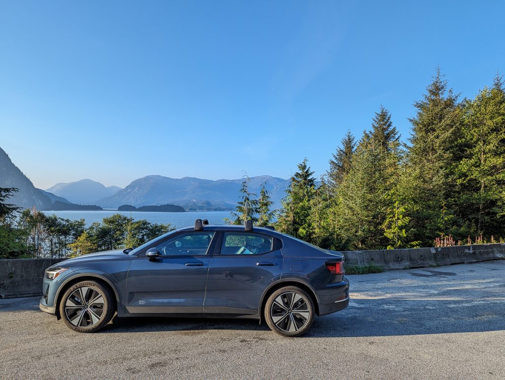
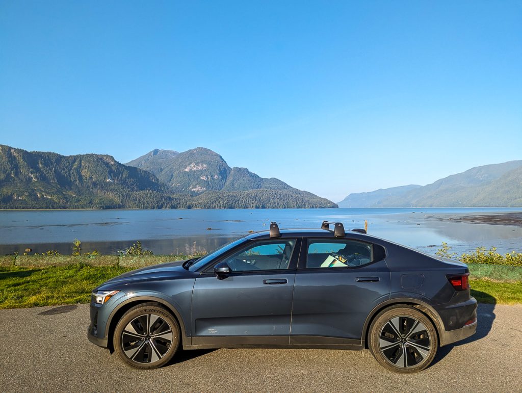
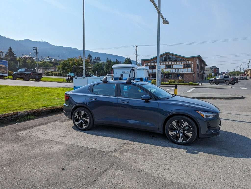
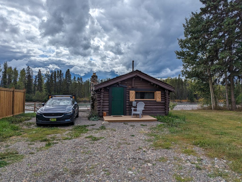
We drive a small Polestar 2 EV, and this route is 100% accessible for EV drivers and electric-powered adventures. While this guide is great for everyone looking to hit the open road, whether in a campervan, RV, or gas car, I do highlight stops optimized for charging and share my suggestions for EV drivers.
About Yellowhead Highway 16 in Northern British Columbia
The Northern BC highway that cuts across the entire province is a section of Western Canada’s Yellowhead Highway, also called Highway 16. This highway is also part of the Trans-Canada Highway. Named for Yellowhead Pass, the highway traverses Rockies Pass on the border of Alberta and British Columbia.
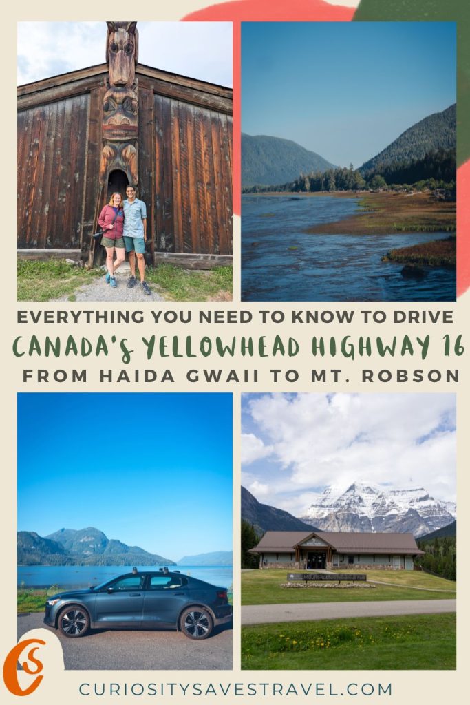
The entire highway stretches from Haida Gwaii, British Columbia, to Winnipeg, Manitoba, across four Canadian Provinces. But for this guide, we are just covering the entire length across British Columbia, which includes:
- 1,300-1,650 km of highway (depending on your detours) between Haida Gwaii and Mt. Robson.
- Includes the stretch of the marine highway connecting Haida Gwaii and Prince Rupert by car ferry.
- Small towns and cities like Prince Rupert, Terrace, Smithers, and Prince George
- National Historic Sites, like Kitselas Canyon
- Provincial and national parks and recreation sites
- Indigenous tribal lands of the Haida People, Ts’msyen, and Lheidli T’enneh
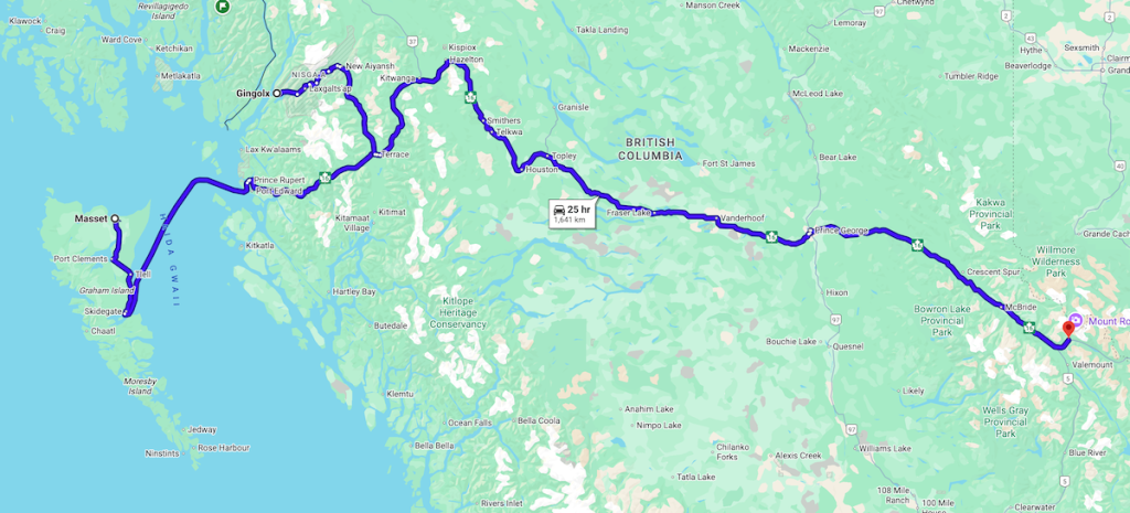
The highway is well-paved and easy to navigate, with plenty of amenities, accommodations, campsites, and charging stations along the way.
West to East or East to West?
For us, this was part of a month-long road trip in British Columbia. With a home base in Vancouver, we departed from British Columbia’s largest city and ferried over to Vancouver Island. We drove up Vancouver Island, staying in the Comox Valley, before departing on Canada’s Inside Passage Ferry to Prince Rupert.
From there, we went to Haida Gwaii. Once we were back on the mainland, we drove from Prince Rupert to Prince George, returning to Vancouver through the Cariboo region.

We did most of this route from west to east. However, on another trip, we drove from Alberta to Mt. Robson, driving part of the way from east to west. This itinerary follows most of our route west to east, continuing as such until Mt. Robson, for clarity.
You can, however, drive from east to west if coming from Alberta and heading to Haida Gwaii. Just reverse the stops and itinerary suggestions, and you’ll be just fine. You can also cut out sections of it if, for example, you want to head south from Prince George to reach Vancouver or head north to The Yukon.
How Long Do You Need to Drive Highway 16
I would not recommend doing the FULL route from Haida Gwaii to Mt. Robson in less than 10-14 days. If you are doing a smaller chunk, say Prince Rupert to Prince George, then you might enjoy this trip in 7 days. Just to give you an overview of the amount of time we spent in each place:
- 4 nights (5 days) on Haida Gwaii
- 2 nights on a ferry transiting to and from Haida Gwaii via the mainland
- 1 night in Prince Rupert
- 2 nights in Terrace
- 2 nights in Smithers
- 1 night in Prince George
- 2 nights in Mt. Robson
Of course, any of these stops (except Haida Gwaii) could be reduced to 1 night or include more nights, depending on how much time you have. I would not spend any less than 5 days on Haida Gwaii.
Camping or Accommodation – Reservations Required
When planning this route, we did a combination of camping and staying at locally-owned accommodations.
During Canada’s peak travel season, accommodations and campsites can book months in advance. So, book ahead and plan.
If you’re going to Haida Gwaii, book your ferries as early as possible (usually 3 months out ). Provincial Park campsites at places like Mt. Robson will also require advanced reservations.
Best Time to Drive Highway 16
You can drive from Prince Rupert to Mt. Robson any time of year.
But to easily access Haida Gwaii and enjoy snow-free roads, you will want to plan this trip during the BC Ferry high season. The high season is June 1 – September 30, when there are regular ferries to Haida Gwaii. Mt. Robson campsites and visitor centers are closed in winter, as well.
We traveled in late August during a slow travel year. We thought it was the perfect time of year to travel, despite summer wildfires.
However, with more people boycotting travel to the United States, travel in Canada is booming! I suggest traveling this route in the first week of June or September. But, as long as you plan ahead, this trip will work anytime during June – September.
Indigenous Culture on Highway 16
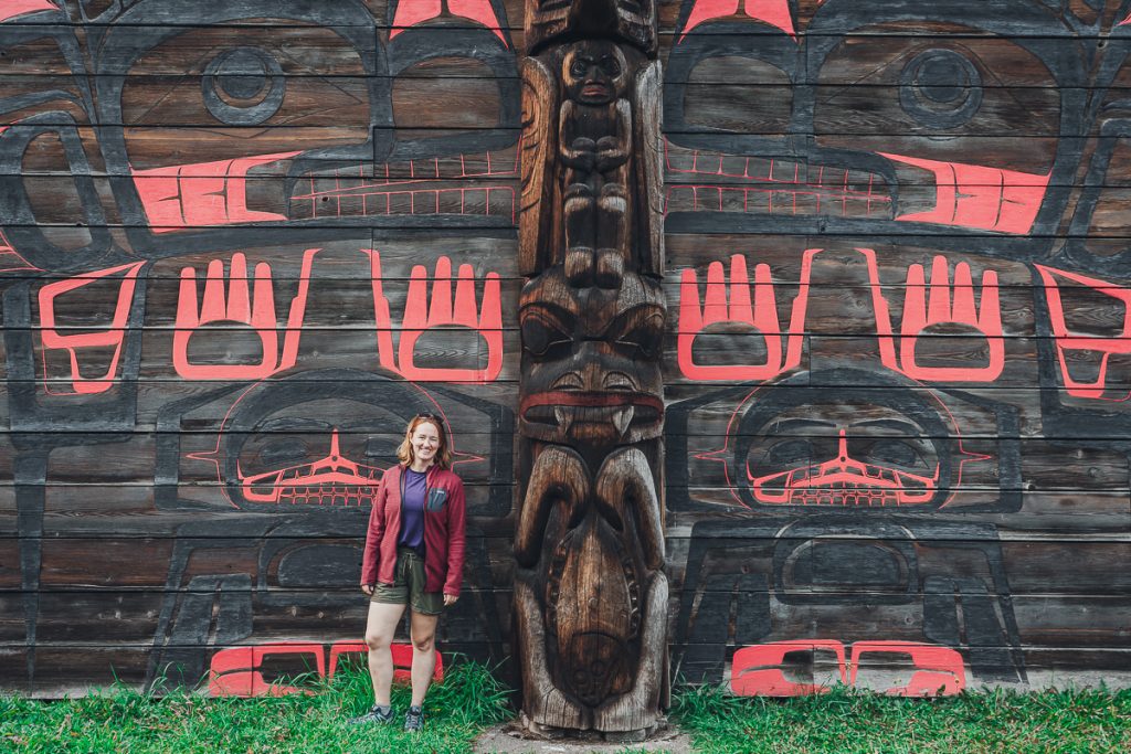
British Columbia’s section of Highway 16 cuts through multiple First Nations and Indigenous lands. It is a place where you can enjoy Indigenous-led cultural tourism at Kitselas Canyon, and the ancient lava beds and cultural treasures of the Nisga’a Nation. But also take time to learn about the trauma left in the wake of torturous colonialism imposed on these communities along the Highway of Tears. There is space for both.
The highway is home to many nations, including groups such as the Haida, Ts’msyen, Gitxsan, Nisga’a, Wet’suwet’en, Lheidli T’enneh, and the Secwepemc people, all whose connection to this land spans millennia.
As travelers, it is our moral responsibility not just to drive past, disconnected from the place, but also to learn about the diverse Indigenous groups, systemic issues, intergenerational trauma, and colonial impacts. At every stop, I encourage you to learn about a local First Nation, some of their history, art, traditions, and current role in society.
Highway of Tears
Locally, this highway corridor from Prince Rupert to Prince George is known as the Highway of Tears. This name marks the tragic, ongoing history of violence and disappearances of—predominantly—Indigenous women and girls.
As you drive, you will see red dresses hung high on signs and powerlines— blowing in the wind. In Smithers, we spotted a mural from Raven Tacuara depicting a red dress, and a red dress memorial in Prince George.
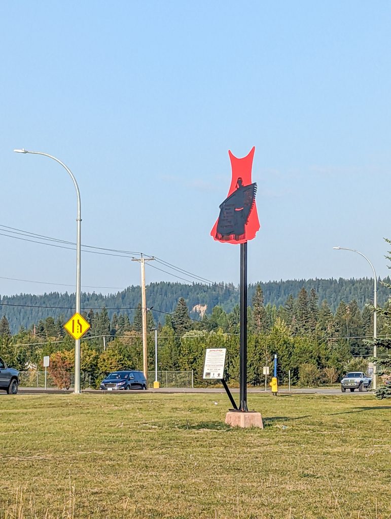
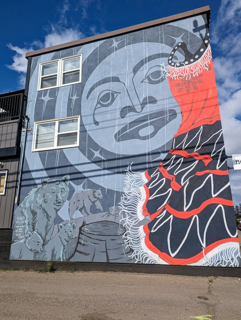
The red dress is the symbol honoring the victims and families of the Missing and Murdered Indigenous Women and Girls crisis. At least 40 women have gone missing or been murdered along this stretch of highway alone, and the majority of them are Indigenous.
The root cause of this crisis is a combination of many things that have been hundreds of years in the making. But a simplified overview is that Canada, as a colonial entity, forced nomadic Indigenous people into permanent rural settlements while offering no public transportation. Many women had to hitchhike with strange men to get around in an area without phone service.
Cultural erasure and abuse in residential schools caused intergenerational trauma and many traditional family structures to break apart. Add the introduction of drugs and alcohol, and domestic violence cases spiked.
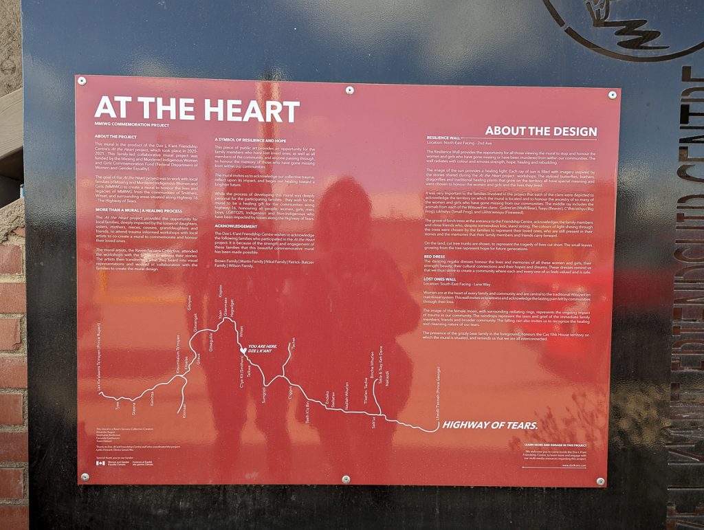
I could talk about the staggering statistics, share the cited reasons for why this highway is so deadly for women, or talk about how this crisis extends across North America; instead, I encourage you to read, watch, listen, and learn from those with stories to share.
Read
- “The Highway of Tears” by Jessica McDiarmid
- Al Jazeera’s 6-part series: “The Stench of Death on Canada’s Highway of Tears”
- Canada’s Final Report on MMIWG
Watch
- “Voices Unheard” by Native Hope
- “Bring Her Home”
Listen
- Indigenous Rights Radio
Donate
- Lil’ Red Dress Project
- Butterflies in Spirit
- Native Women’s Association in Canada
Nature and Ecology of Highway 16
This highway is also diverse ecologically. As you drive, you will be covering a lot of interesting ecosystems and incredible sights.
Rainforest
Our journey starts in Haida Gwaii, where Gwaii Haanas is one of Canada’s most precious protected lands and national parks. Here, the Haida and the Government of Canada manage the lands together, in line with traditional Haida beliefs. The park is one of the few places on the planet managed holistically from the sea floor to the tops of mountains. Haida Gwaii is where old-growth forests and ancient Haida villages rest.
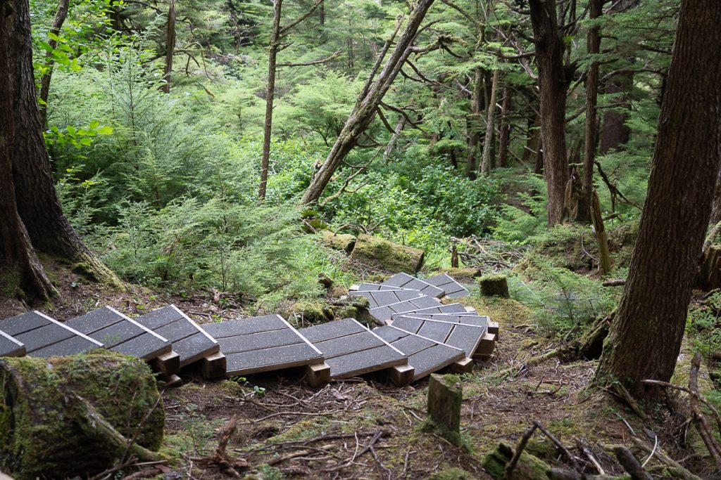
Moving inland, we encounter parts of The Great Bear Rainforest, the largest coastal temperate rainforest in the world. The Great Bear Rainforest is a biodiversity hotspot where First Nations protect our global planetary treasure, critical to human and natural health. The Great Bear Rainforest is home to sea wolves and the Kermode, both unique subspecies.
Rivers and Mountains
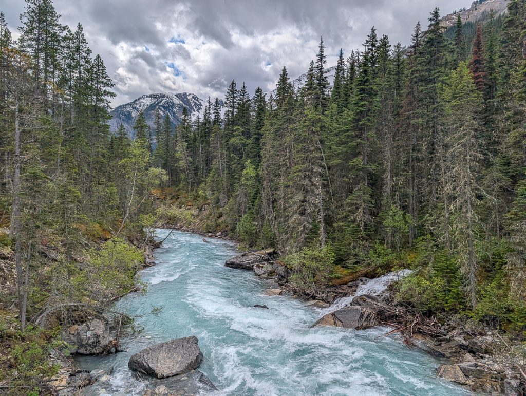
Driving east from Prince Rupert, you’ll follow the Skeena River through the Coast Mountains. The Skeena is one of the most important rivers in British Columbia, acting as a transportation artery for the Ts’msyen and Gitxsan people.
The river and its basin sustain a wide variety of fish, wildlife, and vegetation, and communities native to the area depend on the health of the river.
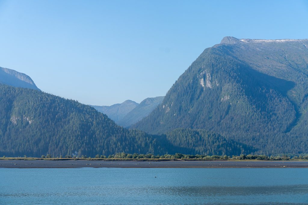
The Nass Valley, north of Highway 16, as a small detour, has some of the most fascinating landscapes. A volcano erupted here, covering the Nisga’a homeland with molten lava that hardened and changed the entire landscape. It is a place with natural hot springs, lava beds, and modern Indigenous villages.
The Coast Mountains are known for their icy glaciers, snow-capped mountains and rural natural forested ecosystems.
Lake District
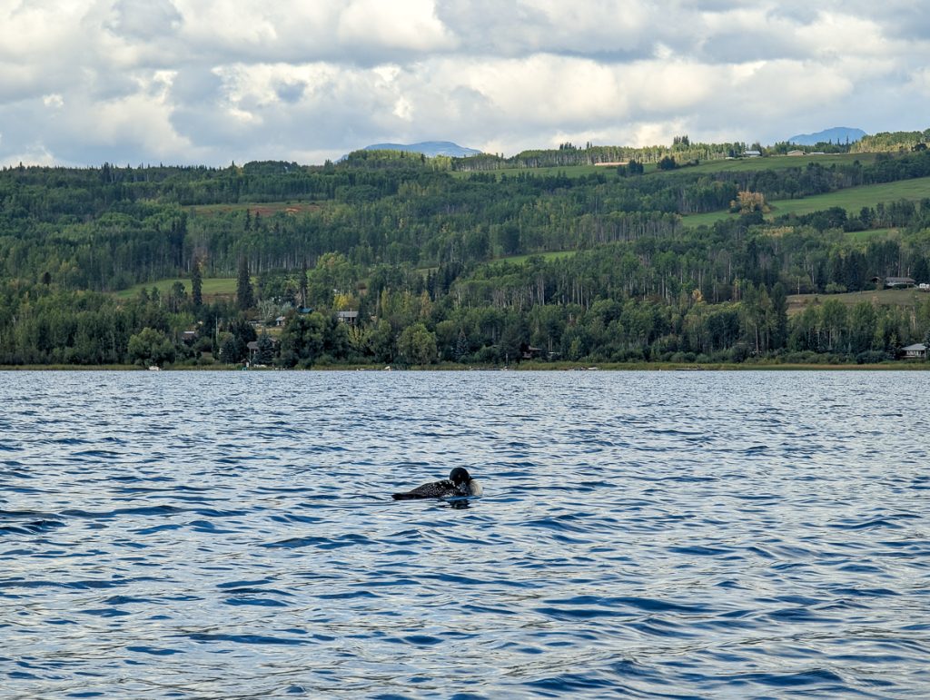
As we leave the Coast Mountains near Smithers, we start to come into British Columbia’s Lake District. Home to 300 backcountry lakes, surrounded by mountains and valleys, the Lake District is perfect for freshwater recreation. Birding is fantastic here, with the common loon a local favorite sighting!
Canadian Rockies
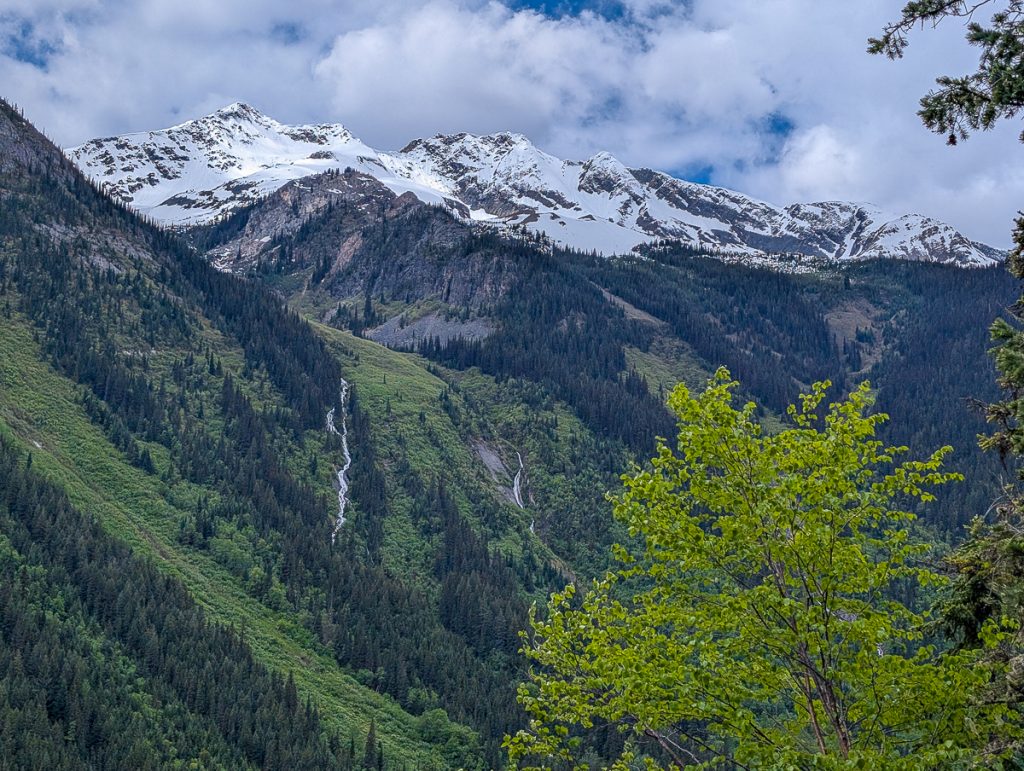
From the Lake District, we will soon enter another mountain range, the Canadian Rockies. The dominating border between provinces, the British Columbia side, is often overlooked for Alberta. BC is home to the tallest peak in the Canadian Rockies, Mt. Robson! Here you might encounter bears, mountain goats, glacial lakes, and incredible waterfalls!
Highway 16 Stops, Itinerary, and Things to Do
Alright, it is time to hit the road! Whether you are starting in Haida Gwaii as we did after catching the ferry up through Canada’s Inside Passage, or starting in Prince Rupert, Prince George, or Mt. Robson, just jump to the section you need and let’s get rolling.
Stop 1: Haida Gwaii (4 nights / 5 full days)
Our time in Haida Gwaii was one of the most transformational experiences of my career in travel. It is the homeland of the Haida Nation and a deeply special place.
It is a remote archipelago off western British Columbia, Canada, just below southeast Alaska, accessible only by ferry or plane. There are two main islands you can visit: Kiis Gwaay (Graham Island) in the north, and Gwaii Haanas (Moresby Island) to the south, with dozens of smaller islands scattered throughout.
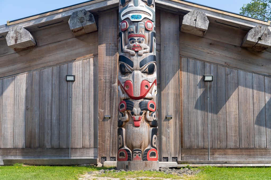
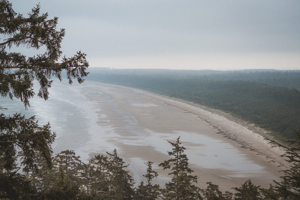
Haida Gwaii is a place shaped by extreme weather and violent geological events. Volcanic-formed agates are strewn across wind-battered beaches to the north, while to the south, incredible old-growth forests still stand with the Haida watchmen as their stewards.
Glaciers have come and gone, and throughout these changes, the Haida people have adapted, living in harmony with the land. Visiting Haida Gwaii is not just about visiting a place; it is also about getting to know the Indigenous people who call it home.
You can independently visit Kiis Gwaay, as it’s great for independent and self-exploration. If you want to visit Gwaii Haanas, though, you will need a permit and a certified guide.
Things to Do in Haida Gwaii
We spent 5 days exploring the islands of Haida Gwaii. There are many things to do in Haida Gwaii that include cultural and ecotourism experiences.
I wrote a complete guide to our full 5 days on Haida Gwaii, and travel tips for visiting Haida Gwaii. To summarize, here are the highlights for visiting.
Hiking, Beaches and Provincial Parks
There are so many great hikes on Haida Gwaii that we averaged a hike almost every day. Our favorites were:
- Taaw Tldáaw (Tow Hill) – for cultural stories while hiking, incredible views, and geology!
- Spirit Lake Trail – an accessible network of trails through the forest and around a lake with Indigenous storyboards
- Kiidk’yaas (Golden Spruce) Trail – a short flat trail with cultural elements
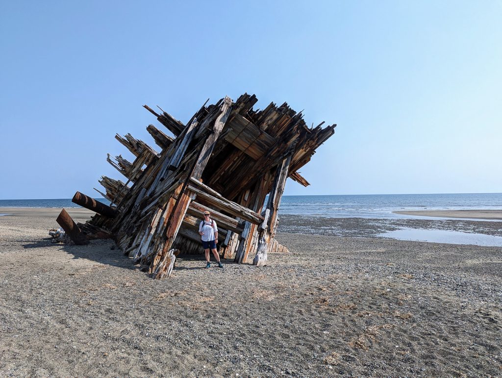
- Hike Pesuta Trail – beach and forest trekking to an old shipwreck with chances to spot wildlife
- Anvil Trail – hike through a forest in recovery
There are also lots of provincial parks throughout the islands for kayaking, SUPing, and nature trails. Take time to walk along the beach and enjoy Agate Beach (don’t collect agates), or sunrise at Balance Rock. Go Birding at Delkatla Wildlife Sanctuary.
Cultural Experiences and Small Villages
There are many Haida cultural experiences to enjoy across the islands.
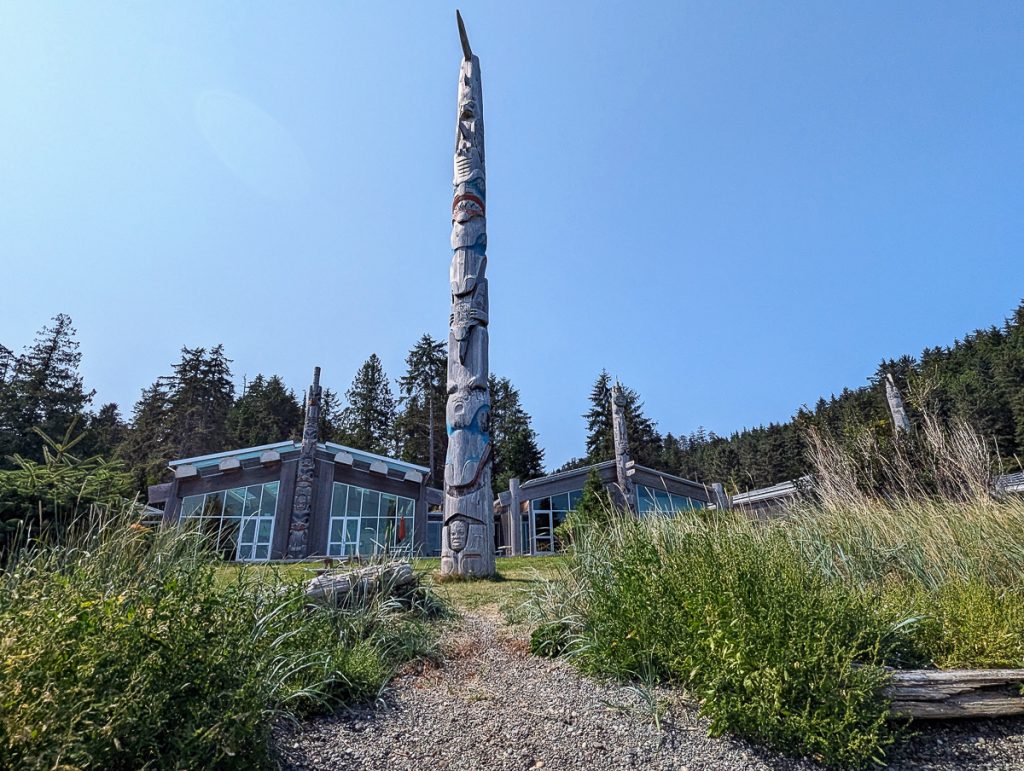
- Visit Gaw Tlagée (Old Masset), a Haida Village for art galleries like April’s White Raven House
- Learn at the Haida Heritage Center for history, mythology, ecology, colonialism, and reconciliation through the Haida narrative
You’ll also visit Wáan Kun (Port Clements), Daajing Giids, and Masset, which are the populated areas for small shops, other food options, cultural art and education, and museums.
Visit Gwaii Haanas
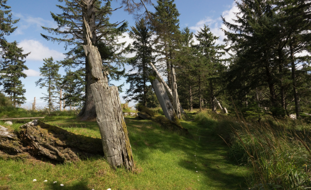
Prebook a tour with Haida Style Expeditions to visit Gwaii Haanas National Park and UNESCO site with a Haida Guide. Learn about Haida’s ancient villages and ecology! They have many tour packages to choose from, so you can focus on culture, nature, or both.
Don’t forget to take the Haida Gwaii Pledge!
What to Eat in Haida Gwaii
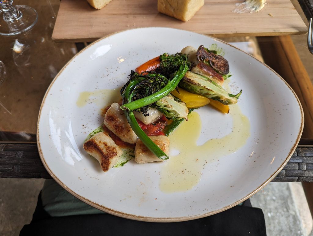
The restaurants on Haida Gwaii operate with limited hours and service, but they are good! Sourcing foods locally. Don’t miss:
- Blacktail – so good we ate there twice! Locally sourced foods
- Haida Gwaii Beach Shop – for local coffee and homemade pastries
- 646 Charter Pizza – amazing pizza in Masset
- Dinner at Haida House – Indigenous foods
- Axe and Anchor – pub food with a scenic deck
- Keenawaii’s Kitchen – dine in the home of a Haida member and sample Indigenous foods
- JAGS Coffeehouse for coffee and breakfast sandwiches
Of course, there are plenty of local small businesses to visit and support. My full itinerary has the complete list!
Where to Stay in Haida Gwaii
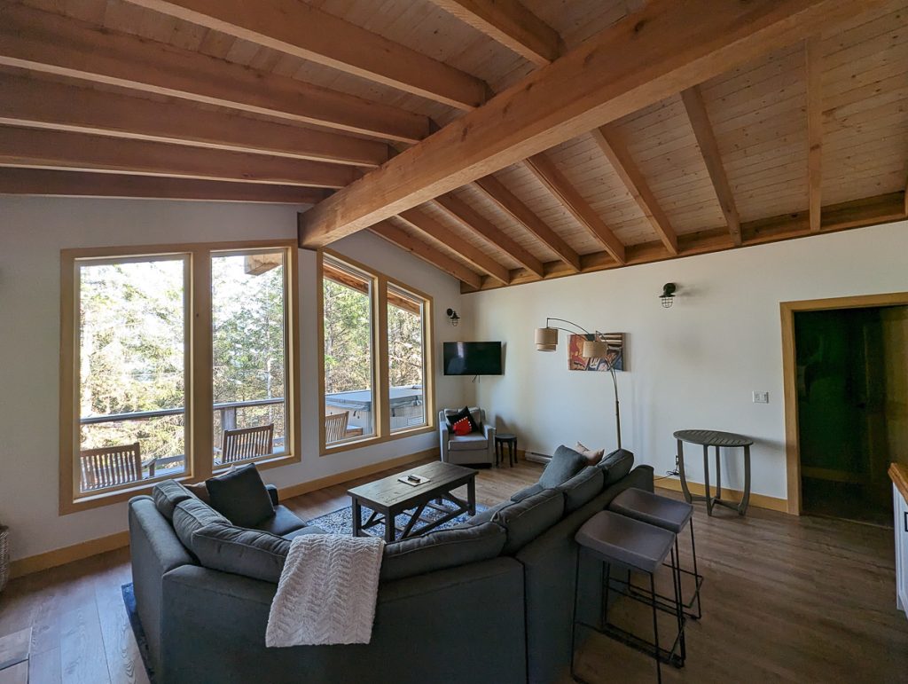
We booked a cozy cabin in the Haida House at Tllaal. This is a Haida-owned lodge and collection of coastal cabins that operate on regenerative principles for coastal restoration and cultural revitalization, while offering comfortable, quiet accommodations!
Book your Haida House stay.
Where to Charge in Haida Gwaii
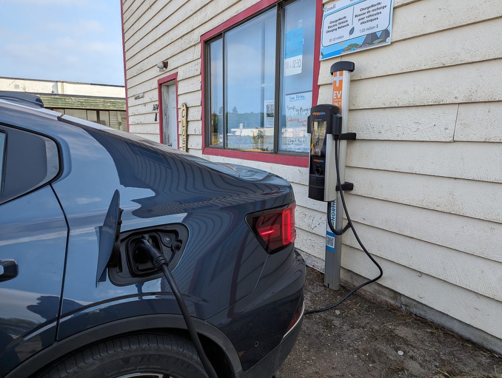
Haida Gwaii has the most limited charging infrastructure of any place on Highway 16. You will need to plan ahead and make smart use of SLOW chargers. The Haida Heritage center has a charger, Masset has a charger, and Haida House let us plug into a home outlet in their conference area.
Be very cautious of your charge here, and plan to embrace slow travel. There is a FAST charger waiting for you once you are back in Prince Rupert.
Transit Day: Ferry Haida Gwaii to Prince Rupert
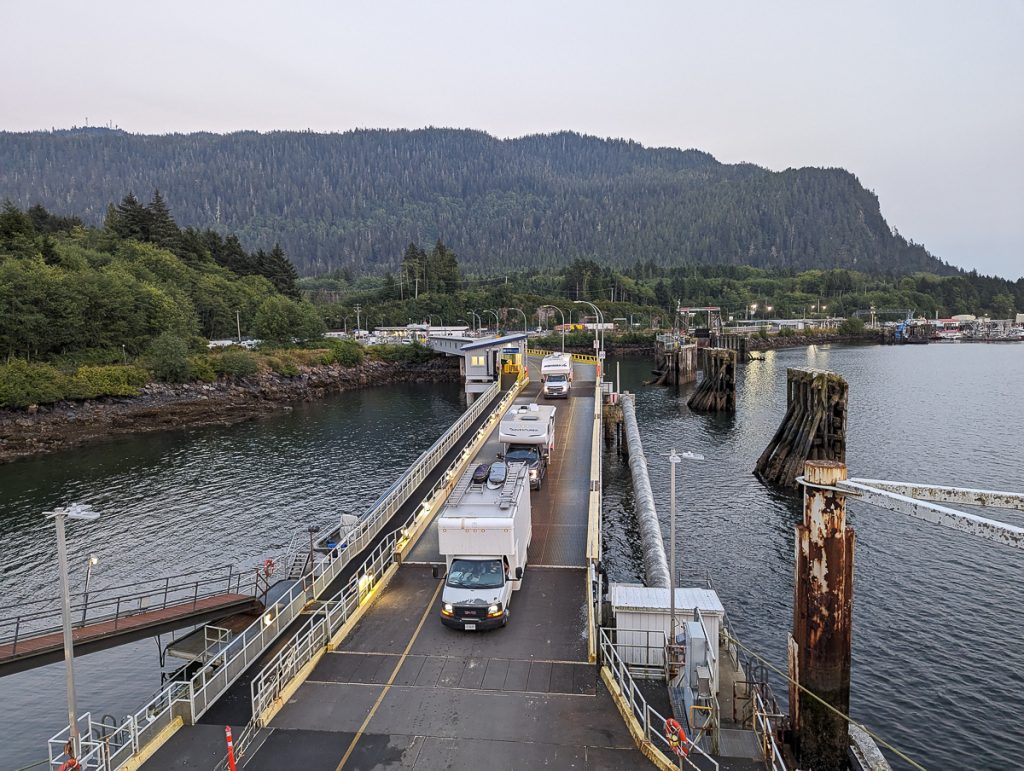
After Haida Gwaii, it is time to catch the marine highway portion of Highway 16. With BC surrounded by so many coastal communities, our ferries really are just like highways to us!
I have a complete guide for this portion of the highway, so you can get from Haida Gwaii to Prince Rupert with BC Ferries without a fuss!
The ferry we booked was overnight, and we reserved a cabin that allowed us to arrive fresh in the morning and ready to go!
Stop 2: Prince Rupert (1- 2 nights)
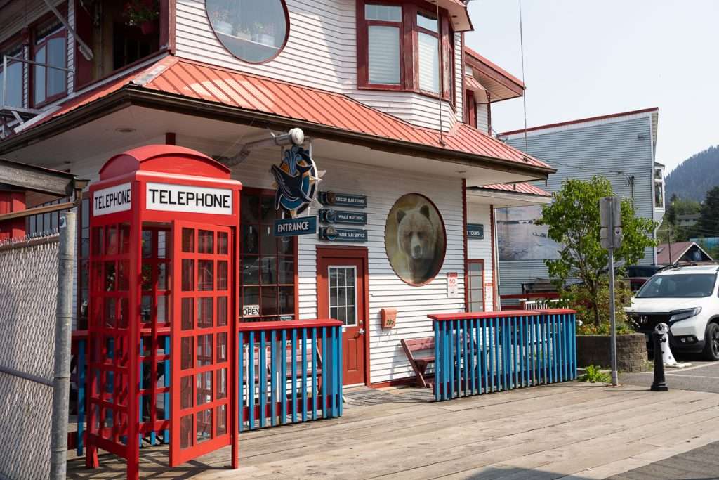
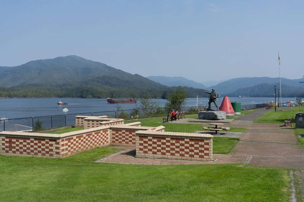
Prince Rupert is a small and charming coastal town that is the gateway to the Great Bear Rainforest. It is lovingly known as the Rainbow City of British Columbia, as it is Canada’s rainiest city.
But we are glad for all that rain, as Prince Rupert is surrounded by thick, lush old-growth rainforests, making it a great destination for ocean and forest lovers. While connected to the mainland by a bridge, Prince Rupert is technically an island called Kaien Island. It is the traditional (and current) land of the Tsimshian (Ts’msyen) First Nations.
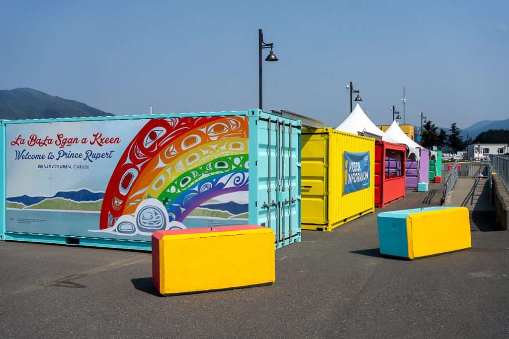
Prince Rupert is historically an important place for fisheries and canneries, which once dominated the industry. Today, it is a bustling town and port city with ferry lines, cruise ships, logging, an industrial port, fishing, and an emerging ecotourism industry.
I have a complete guide on how to spend 24 hours or more in Prince Rupert, which covers everything you need to know. Don’t miss it!
Things to Do in Prince Rupert
Even if you only have 24 hours in Prince Rupert, you can still pack a lot into your day. If you have two days, then you’ll definitely want to add on a day trip!
Museums and Ecology Centers
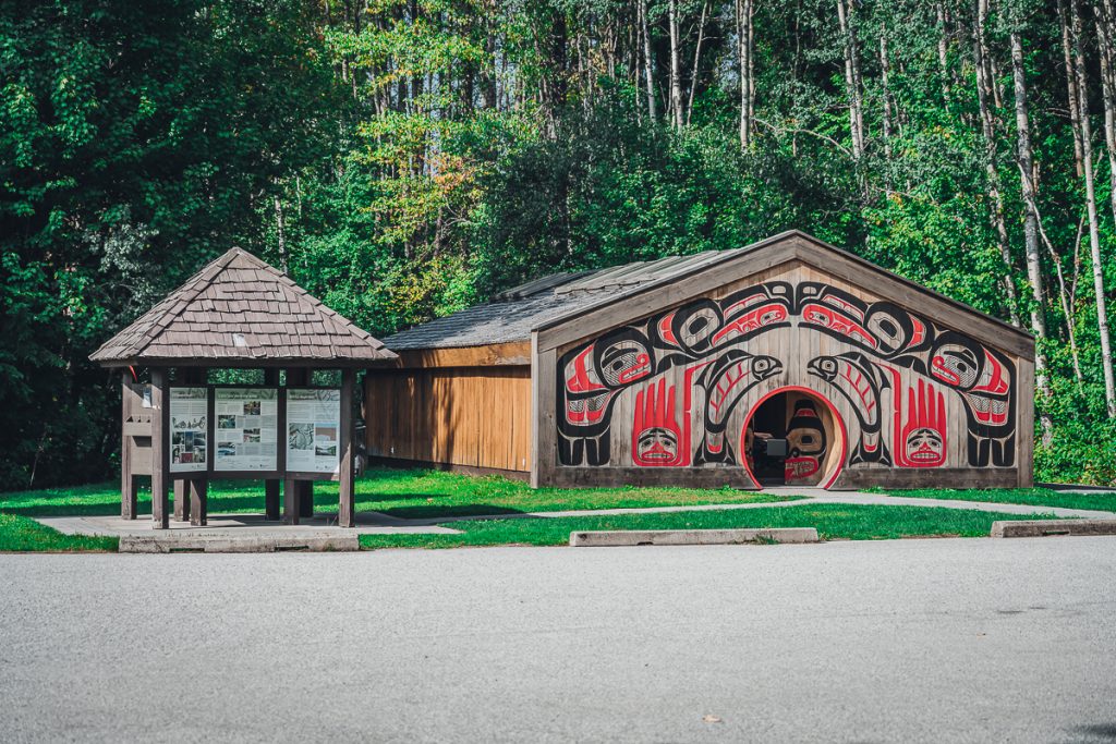
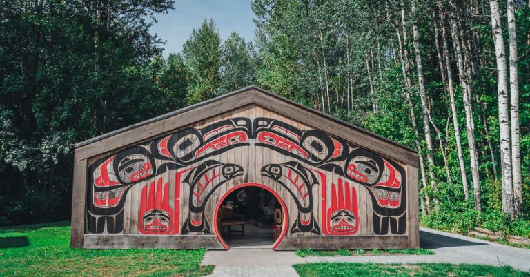
Visit the Museum of Northern British Columbia (closed Sunday / Monday). The museum is housed in an Indigenous long-house complex. Here you will find information on the natural and cultural history of Northern BC, with a strong focus on Indigenous culture, while also covering colonial and more modern history.
This is one of BC’s best museums, and you could spend a decent amount of time exploring the permanent and temporary exhibitions; however, it is small enough that you should be able to check out every room.
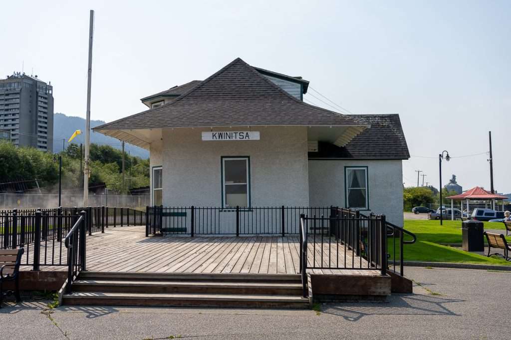
The Northern British Columbia Museums Association also manages several other exhibits and small museums you can check out with more time:
- Kwinitsa Station Rail Museum
- NW Coast Nations Art Studio
- Tsimshian Performance Longhouse
Keep an eye out for the North Coast Ecology Center pop-up in summer as well.
Rushbrook Trail to Seal Cove
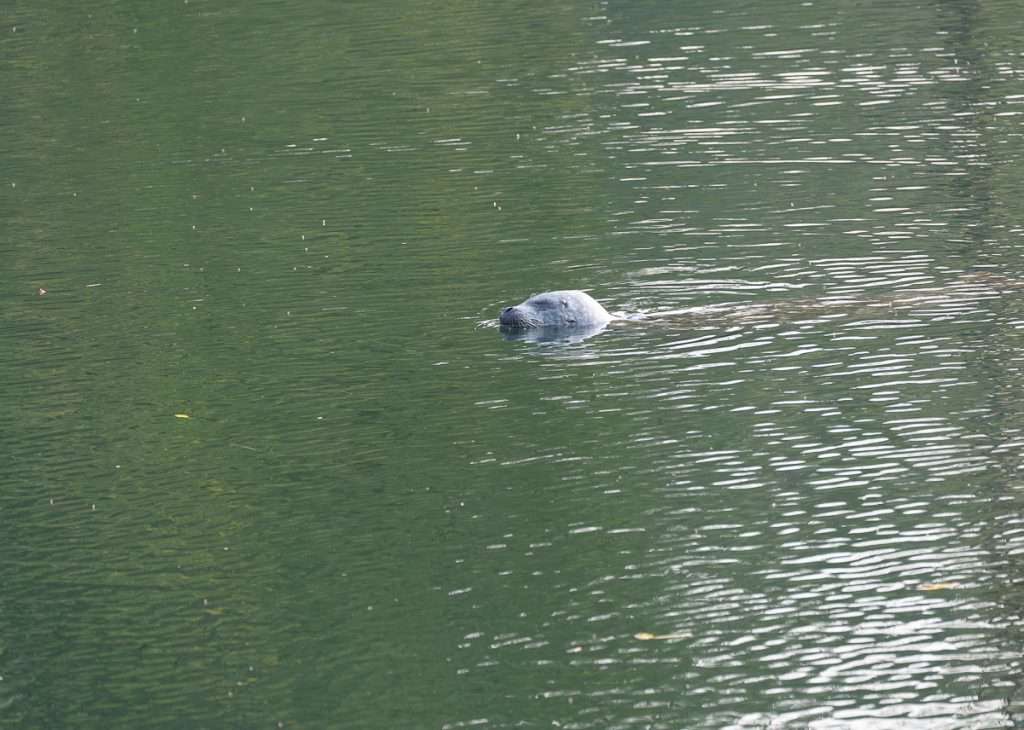
For those who like long nature walks, don’t miss the Rushbrook Trail to Seal Cove. This trail runs along the water in a forest setting and is 3km one way, starting from Bob on the Rocks.
Once you emerge from the trail, walk around Seal Cove for chances to see lots of seals and seabirds, and don’t miss Indigenous-owned Yaga Cafe.
Cow Bay and Atlin Terminal for Local Shops
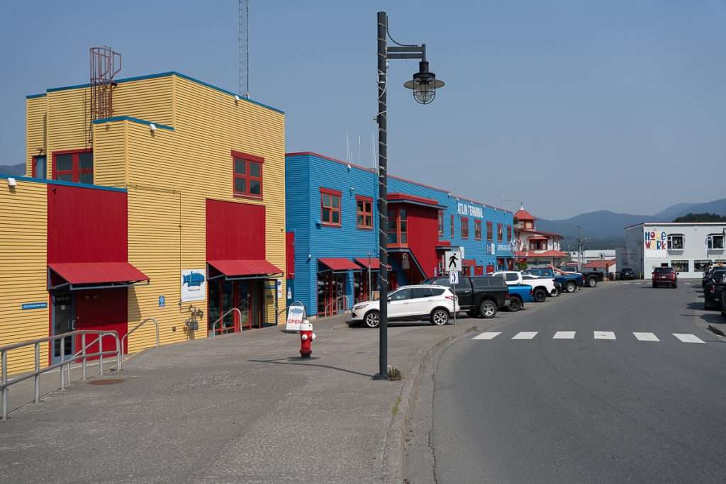
Cow Bay is an adorable harbor district with lots of colorful buildings and local shops. You could easily spend a few hours here shopping at local art galleries, maker shops, and more. Don’t miss:
- Lazy Cat – a women-owned, sustainable boutique
- Ice House Makers Gallery – a co-op with unique hand-crafted pieces
- Seahorse Trading Co. – an eclectic mix of souvenirs and gifts
Walking Tour of Prince Rupert
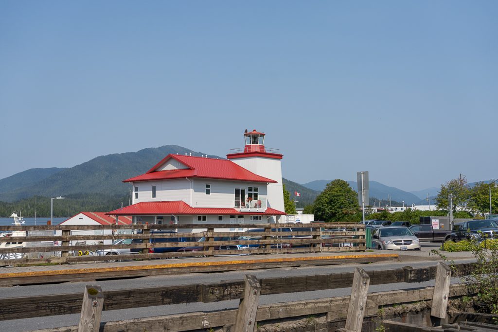
Most of Prince Rupert can be explored on foot! We took a route through the Sunken Gardens, Kazu Memorial, museums, Cow Bay, Rushbrook Trail and street art.
There’s a nice coastal trail and an urban trail that make everything super easy.
Khutzeymateen Grizzly Bear Sanctuary
If you have more time or prefer to spend a full day in Prince Rupert exploring the coastal rainforest, book an excursion tour. I recommend Prince Rupert Adventure Tours, as they are strongly committed to an ethical wildlife-watching experience.
They offer full-day trips to see wildlife, including bears and whales!
What to Eat in Prince Rupert
There are lots of great restaurants in Prince Rupert. We enjoyed:
- Cowpuccinos – for a veggie-friendly breakfast and coffee
- Yaga Cafe – an Indigenous-owned cafe, perfect for lunch
- Bob on the Rocks – Indigenous-owned fish and chips and ice cream
- Wheelhouse Brewing for craft beer – try their sustainably sourced kelp beer
- Arabisk – a great vegetarian spot for Middle-Eastern foods

Where to Stay in Prince Rupert
The Crest Hotel is easily one of Prince Rupert’s best hotels. Not only are they in a prime location downtown near main attractions, with an on-site restaurant and harbor room views, but they are also Indigenous-owned.
The Gitxaala Nation recently purchased the Crest Hotel as an investment in their Indigenous community, serving as both caretaker and cultural tourism leader.
The Crest family previously owned the hotel, and they were happy to sell it to a First Nation group, knowing the values and sentiments of the Crest family will continue for generations to come.
As with most things in Prince Rupert, it is rustic accommodation, but the service and amenities are the best you’ll get in this region!
Where to Charge in Prince Rupert
Prince Rupert has great charging infrastructure. Before you head off to Terrace, our next stop, make sure you are fully charged at the BC Hydro Station.
We will be traversing a mountain pass, which can make charging predictions a little more challenging, but you’ll have plenty of room to spare to make it all the way to Terrace.
Transit Day: Prince Rupert – Terrace
We left Prince Rupert at about 7 am to start our drive day!
Get ready for one of the most scenic stretches of road in all of British Columbia, and that is saying something! As you leave Prince Rupert, you will climb up Rainbow Pass.
You will pass Butze Rapid, Tall Trees and Mt. Hays hiking trails. If you have it in you for an early morning hike, there are trails worth checking out on AllTrails.
Eventually, you will cross the bridge entering the mainland of BC. There are quick scenic pullouts at Prudhomme Lake and Rainbow Lake.
As you summit Rainbow Pass, it really only gets better as views of the looming mountains ahead and the mighty Skeena come into view. This is quite literally where my jaw dropped. Stop at the K-Shian sign to learn about the Skeena.
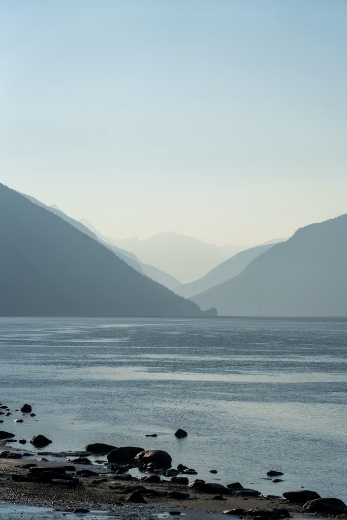
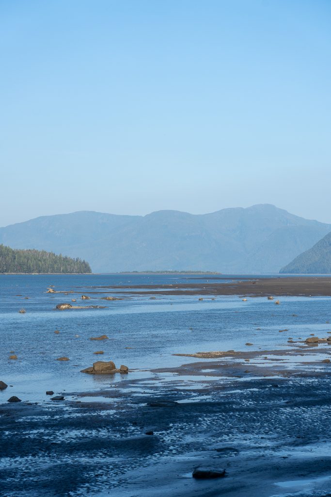
A large braided river, the Skeena has its own islands and microsystems and just incredible views! Drive on the slower side so you can stop at all the pull-outs for views!
Eventually, you will enter Terrace, where we booked two nights.
Stop 3: Terrace and Nass Valley (2-3 nights)
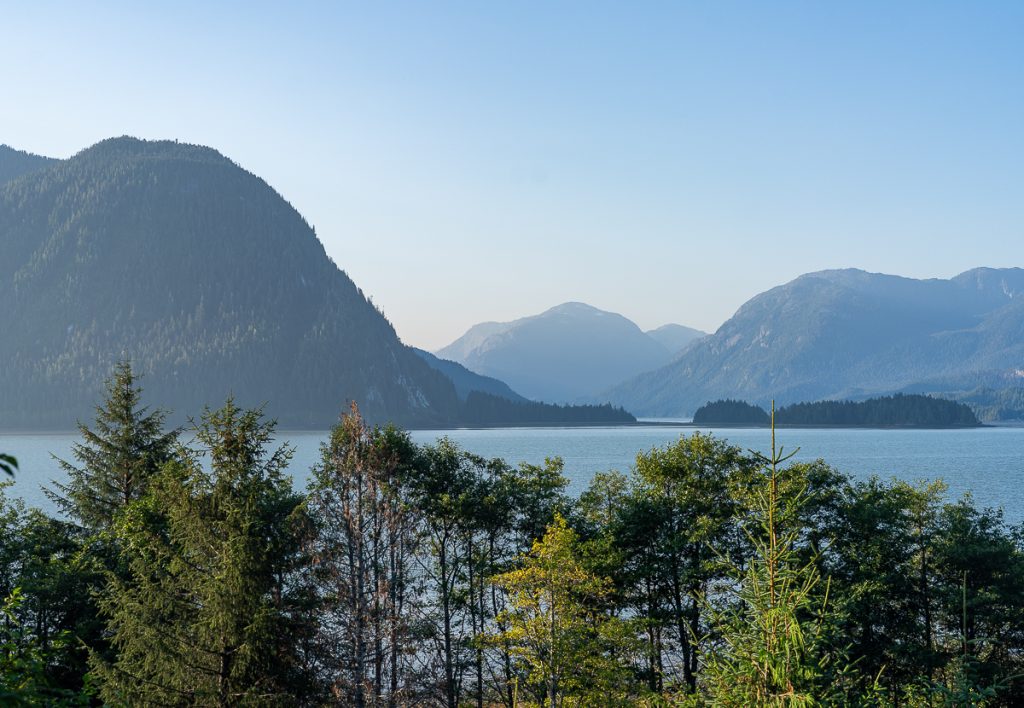
We met a few people from Terrace in Haida Gwaii, and when I asked them for their favorite things to do in Terrace, they didn’t have a glowing review, but honestly, we enjoyed it! Terrace is one of those places that I think grows on you, and you really need an adventurous spirit! It is named Terrace because of the terraced plateaus that make up the urban center.
It is a place of differing economic investments with large mining communities and also outdoor enthusiasts. While it has a small-town feel to it, it is one of the largest hubs for transit, education, and medical care servicing Northwest BC.
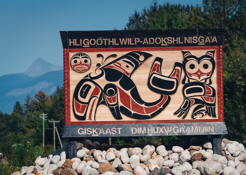
Terrace is the home of the Kitselas tribal group. It is home to their sacred white spirit bear, Kermode. While your chances of seeing one are very low, it is never zero, so keep your eyes peeled.
Things to Do in Terrace
We divided our time between an afternoon in Terrace after we arrived from Prince Rupert, followed by a full-day trip into the Nass Valley.
Outdoor Recreation
We enjoyed a quick evening hike up Terrace Mountain, where, along the way, there are unique art sculptures and installations.
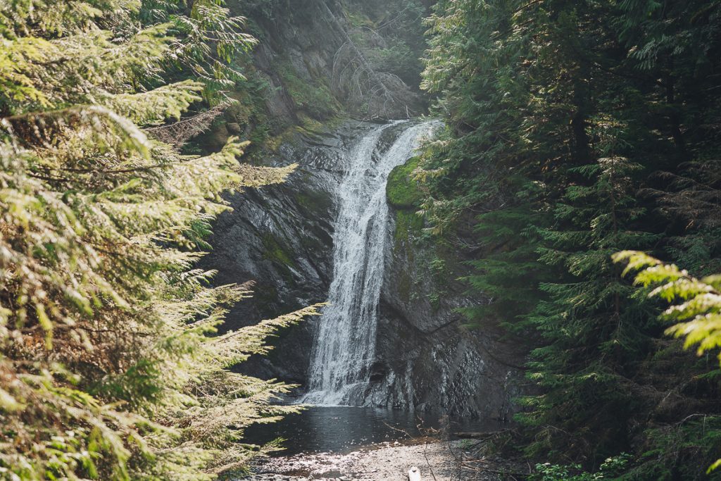
Nearly every other tourist we talked to was in Terrace for a fishing excursion. While this wasn’t our cup of tea, fishing on the Skeena River is popular. It is also a haven for mountain biking, hiking, ski touring, and more! Book an adventure with a local excursion company.
Explore Downtown Terrace
While Terrace is certainly small, there is a close-knit community and downtown area. There is a vibrant artist hub, and don’t miss all the incredible street art! You might also want to venture into the Terrace Art Gallery, Red Raven Art Gallery and the Visitor Center.
There are also lots of historical sites in the heart of Terrace for colonial history. Visit George Little Park and House to learn about George Little, the founder of modern-day Terrace. The Heritage Park Museum is a colonial open-air museum with authentic log houses and structures. Of course, you can’t leave without seeing Big Bertha, old logging equipment, on Highway 16 across from the visitor center.
Where to Eat in Terrace
We enjoyed a quiet at-home veggie BBQ at our accommodation, so we didn’t eat out much in Terrace. But I know a few people who live in Terrace who recommend:
- Sherwood Mountain Brewhouse for craft beer
- Skeena Bar for pub food
- Don Diego’s for Mexican
- Fix Cafe for coffee and snacks
Nass Valley Auto Tour
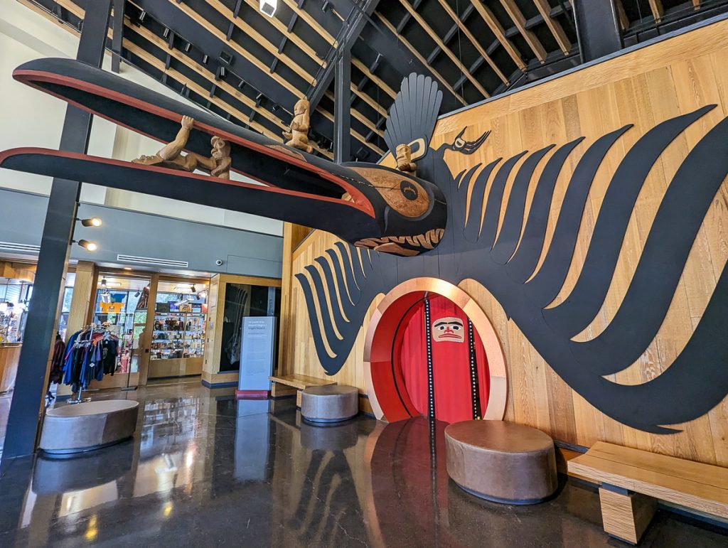
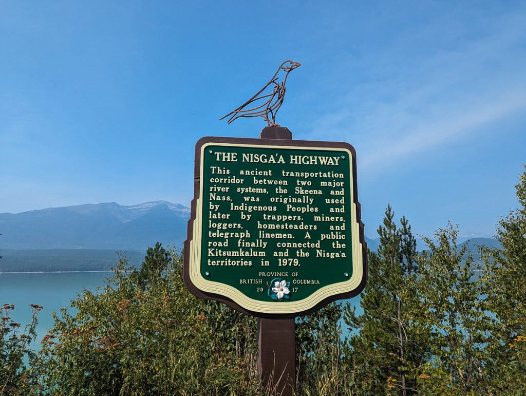
Leaving Terrace with a FULL charge, embark on an incredible Indigenous-led auto tour through the Nass Valley and Nisga’a homeland. With 18 stops, you’ll see lava beds, ancient and modern Indigenous villages, hot springs, old weathered totem poles, waterfalls, and so much more!
The Nisga’a Museum is a must-see! And it is full of repatriated artifacts. Book a tour with a Nisga’a guide.
This was a highlight of our Highway 16 road trip and is well worth the detour. Keep an eye on your charge, as you might not make it to the last stop.
I have a complete guide to the Nass Valley Auto Tour. Save it for everything you need to know about this incredible detour.
Where to Stay in Terrace
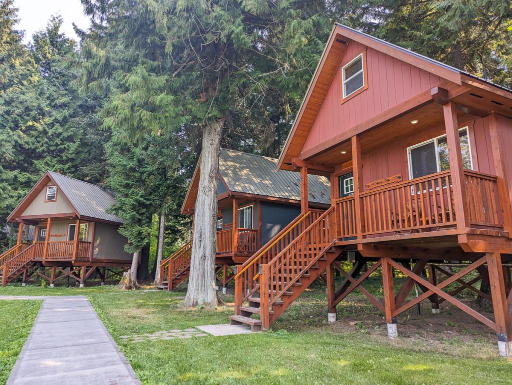
We loved the cozy cabin we booked at the Hidden Acres Farm and Treehouse Resort. This local family-run farm has a fantastic collection of little treehouses for booking. We cozied up in our cabin for 2 nights and enjoyed fires out in the evening and BBQing for dinner.
This is highly rated, and we just loved it!
Where to Charge in Terrace
Terrace has FREE fast charging! I know, what on earth? The Flo Charger just off the start of Highway 37 was a lifesaver! We fully charged here before and after our Nass Valley tour and before embarking on the next leg of our journey.
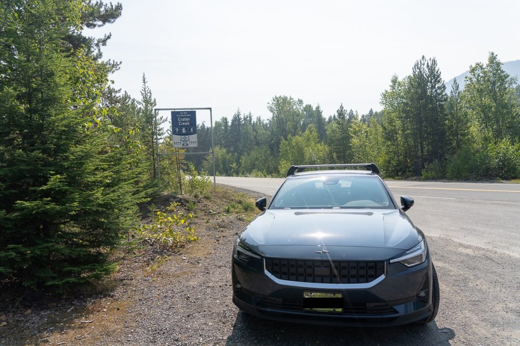
Transit Day: Terrace – Smithers
Today is a longer driving day with lots of interesting cultural and historical stops that are more than just scenic pull-outs.
Just outside of Terrace is the Kitselas Canyon National Historic Site. We visited here without a guide, although there are guided tours at certain times of the day. Kitselas Canyon is the home of the Gitselasu People of the Ts’msyen Nation and includes six of their ancestral village sites.
The canyon is in a beautiful forested area along a river canyon. There are also 4 small museums on site. Pay your entrance fee and explore on your own or with a guide.
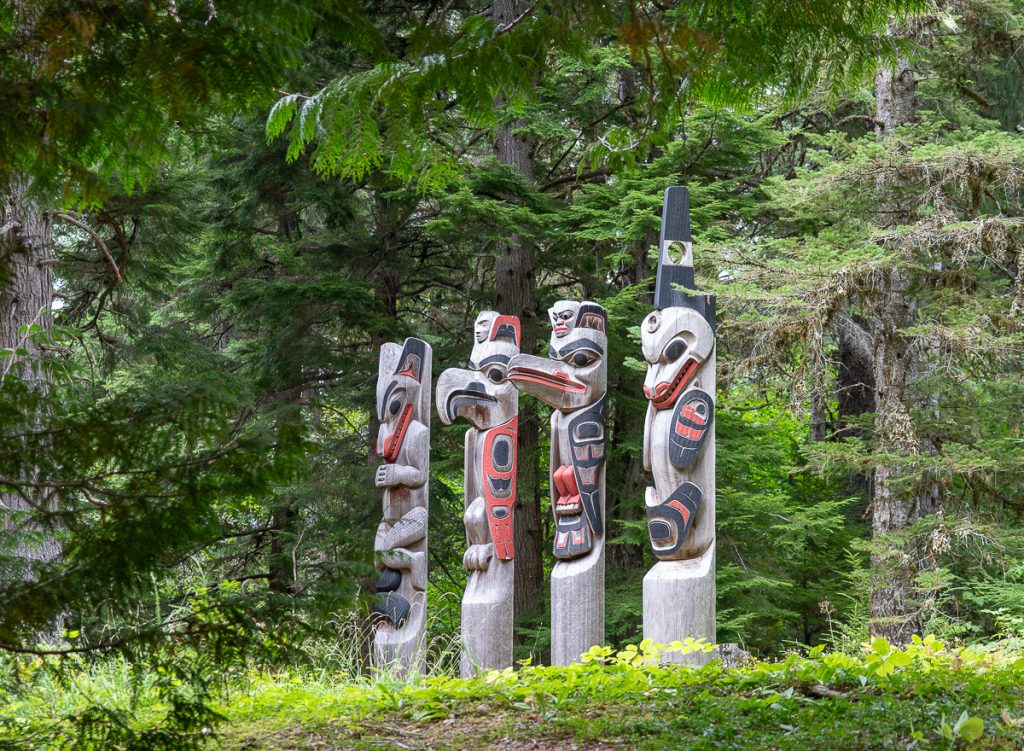
Campers or hikers might enjoy a full stop at the Seven Sisters Provincial Park. We just enjoyed the 7 Sisters Peaks from the ground, but there are plenty of recreational activities in this area.
The next stop we made was Gitwangak Battle Hill Site, another national historic site. Stretch your legs and climb Battle Hill. While this looks like any other hill, it was the site of an epic Gitwangak tribal stronghold and battle site.
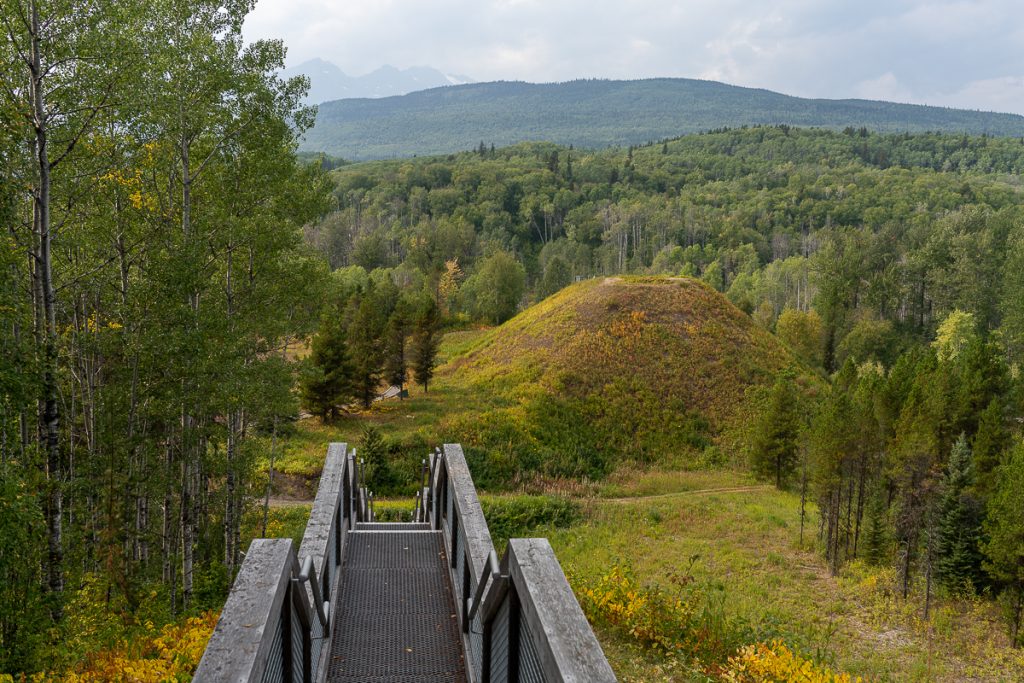
‘Nekt was an infamous Indigenous warrior whose mother was kidnapped by the Haida people. She escaped on a canoe with her son, ‘Nekt. She raised him to become a strong warrior, dominating the trade of the surrounding nations with violence and fear. He settled atop the hill, building a stronghold with his clan house.
Other nations tried to stop his reign of terror by attacking his stronghold. They met their demise as ‘Nekt, wearing the skin of a bear, rolled spiked logs down the hill to greet them. Eventually, a Nisga’a warrior took him down, and peaceful trade was restored to the region for a time.
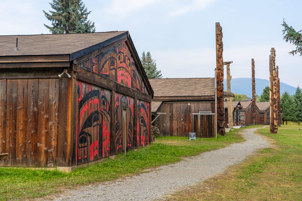
‘Ksan Historical Village and Museum closes at 4 pm on weekdays, so you might want to time your drive to make sure you visit this site. A replica village, ‘Ksan, has 7 longhouses and monumental poles. Just wandering around and seeing the sights is well worth it, but if you want a tour, you will need to schedule this in advance.
After that, we headed straight to Smithers!
Stop 4: Smithers and Talkwa (2 nights)
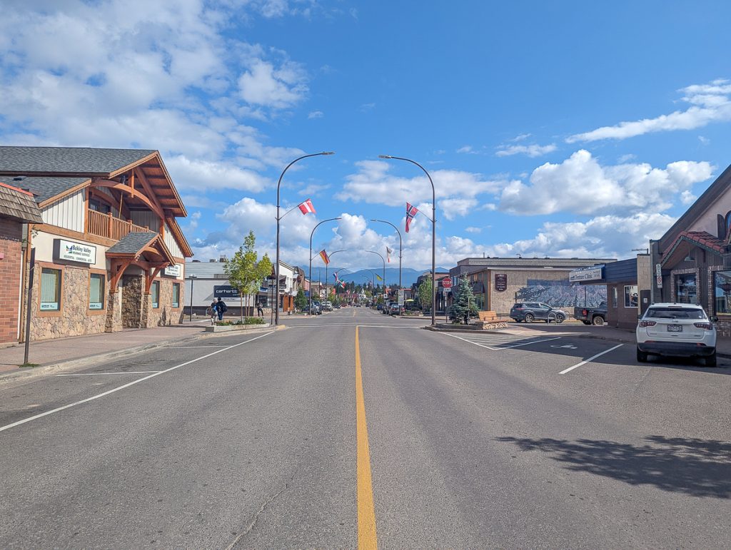
Smithers is a super cute alpine-inspired town. Surrounded by mountains, the area is famous for hiking without the crowds. All of the buildings in the downtown core must be built in Alpine style, and the statue of Alpine Al is an iconic focal point of the city.
Smithereens are famous for their arts, culture, music, and advocacy. It is home to award-winning musicians and the Mid-Summer Music Festival. The Buckley Valley is a resource-rich land, and the people of Smithers often take up protesting in support of environmental integrity.
It is the traditional lands of the Wet’suwet’en People. Modern Smithers grew as an important site for railway development in British Columbia.
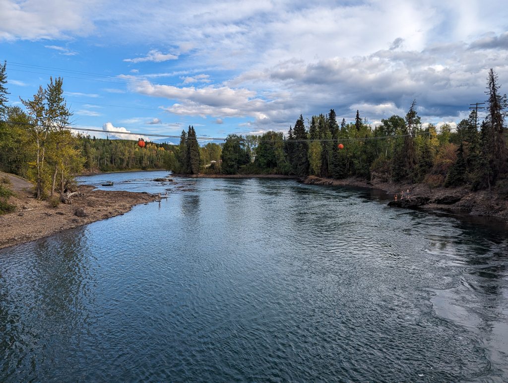
Things to Do in Smithers
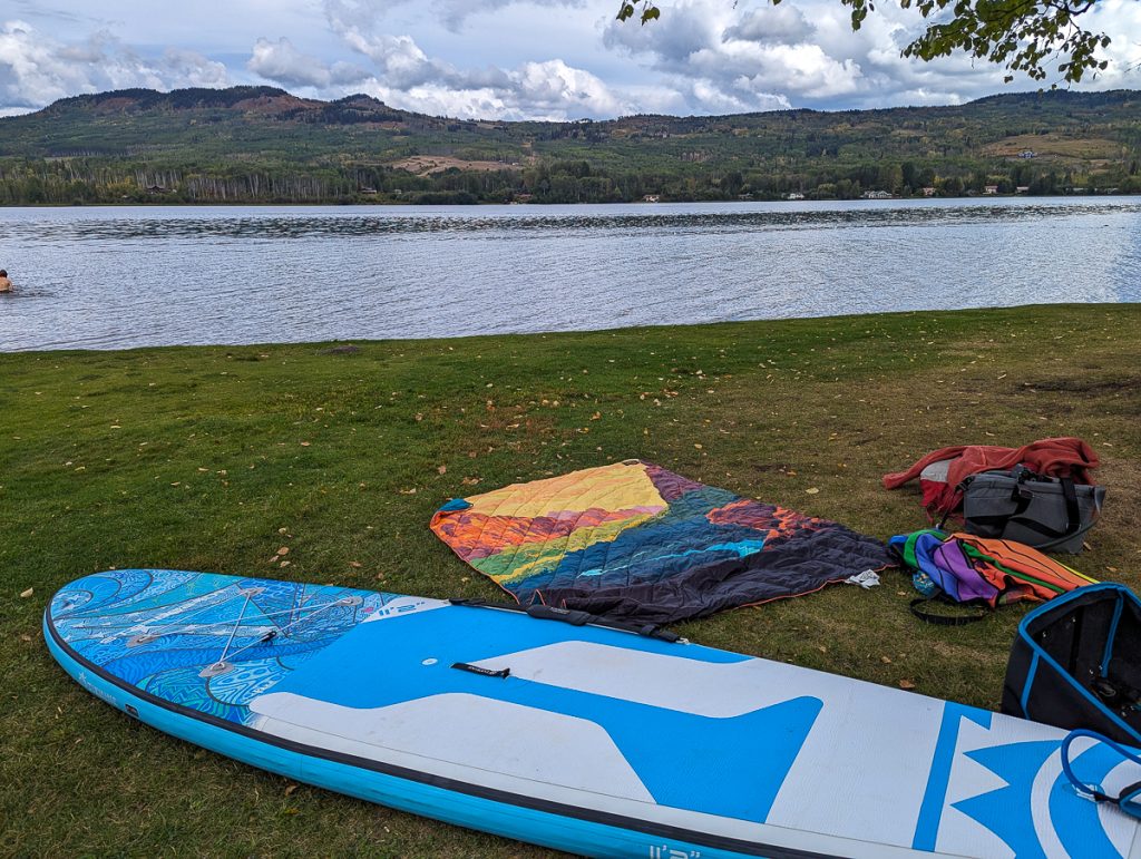
Smithers is another great opportunity for a blend of arts, culture, and outdoor recreation. Smithers was a relaxing point in our road trip, and we honestly took some time to rest and relax in our cabin and SUP with loons on the lake. While we had two nights there, we only ventured into town once and otherwise just chilled.
Tyhee Lake Provincial Park
We spent a full afternoon at Tyhee Lake SUPing and reading a book at the beach. There is a walking trail around the lake as well, but it was closed due to bear activity. We swapped out time in Smithers to enjoy a day at the lake! If you are traveling with a SUP or kayak, this is a great option; otherwise, you might enjoy an alternative activity.
Arts, Culture, and Shopping in Downtown Walking Tour
You can do a full walking tour of charming downtown Smithers in a day. Our favorite thing was to check out the Indigenous cultural sites and the street art. The Red Dress mural was powerful!
Tourism Smithers has curated a lovely walking tour guide that we used for our experience in Smithers.
Hiking and Outdoor Recreation
Smithers’ claim to fame is that they have lots of hiking just 15 minutes from downtown.
- Perimeter Trail – a flat and accessible route that circumnavigates the town and Bulkley River, a perfect addition to the walking tour
- Twin Falls – a short, easy hike to a stunning waterfall
- Hudson Bay – enjoy a 2-hour hike to Crater Lake or take several hours to summit
- Babine Mountains Provincial Park – a secluded and lush provincial park with dozens of hiking trails
Where to Eat in Smithers
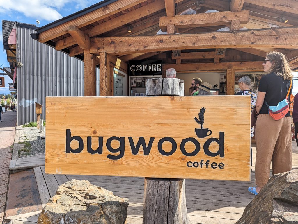
We ate a few meals at home with (our host) Brandi’s catering company. However, one of our favorite grab-and-go spots was Bugwood Coffee Cafe! Otherwise, don’t miss:
- Smithers Brewing Co. for craft beer
- Roadhouse for casual mid-scale dining
- Telly’s Grill
Where to Stay in Smithers
We actually booked a cozy cottage just outside of Smithers along the Bulkley River in Telkwa. This was an ethical Airbnb that was a cabin on the property of a lovely local family.
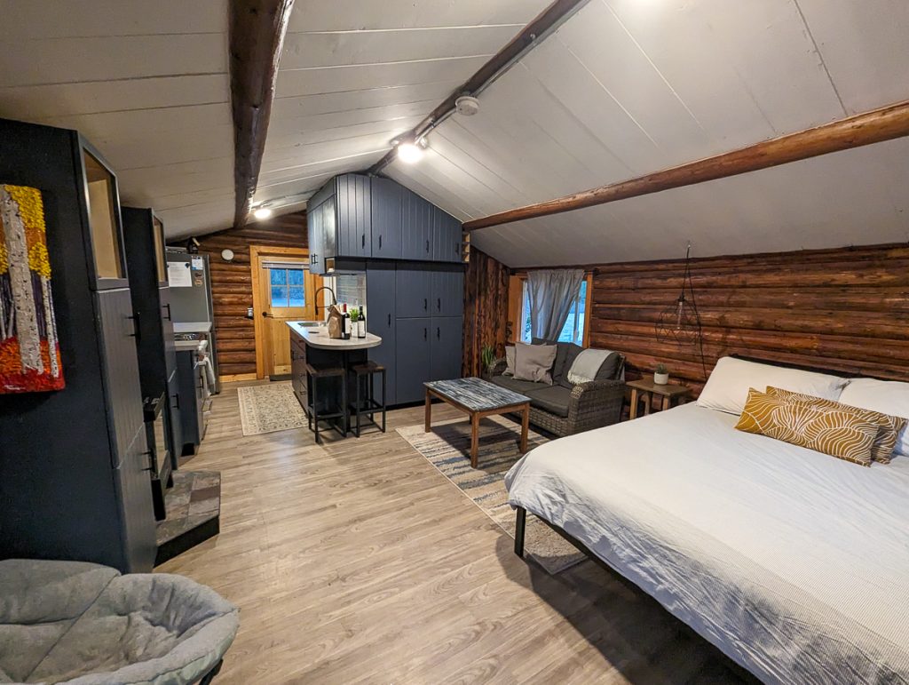
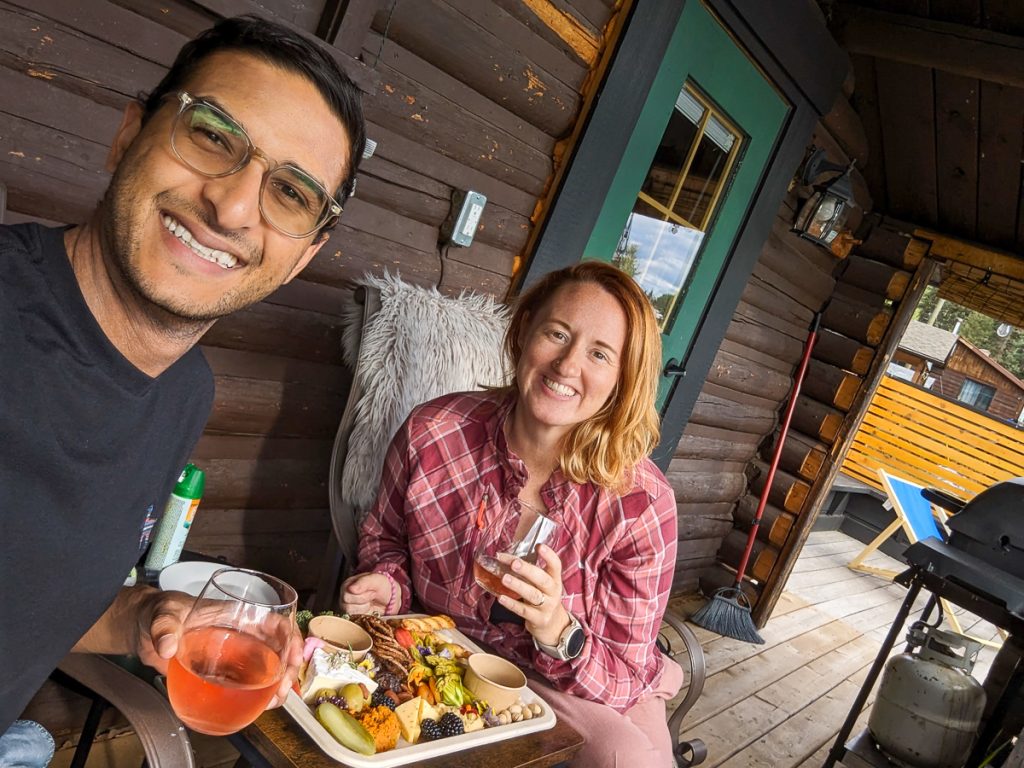
Brandi owns a local catering company, Riverside Kitchen, and we ordered delicious food from her company to dine in right on the banks of the river.
We spent our evenings enjoying the sounds of the river and walking along its banks before returning to cook dinner and sip wine!
Where to Charge in Smithers
We used the FREE Flo charger at Tyhee Lake while we were SUPing. But there are plenty of Flo chargers in Smithers as well, to ensure you are fully charged before hitting the road.
Transit Day: Smithers – Lake District | Prince George
As you leave Smithers, you’ll slowly start to leave the mountains behind and enter a new ecosystem – the Lake District.
If you have time to hike, China Knows is a popular half-day hike!
I’ll get real with you: the Lake District is a super conservative stretch of British Columbia that doesn’t know how to separate church and state. You will drive past Trump Flags (we call these people Maple MAGA) and anti-abortion billboards.
We opted to just drive through this area, making a few stops along the way, but not overnighting. I think if we had more time, we might return to a more remote lake for quiet paddleboarding, but that wasn’t in the cards for us this time.
However, if you have a car with clearance, enough charge, and unpaved road capabilities, you might be interested in doing the Lake District Francois Lake Circle Tour. This route is about 4 hours and follows a forest service road (Morice River Forest Service Road) from Houston and turns off Highway 16. This will take you into the heart of the Lake District with a free ferry crossing during the day.
You will come back onto Highway 16 at Burns Lake and can continue to Prince George.
Stop 5: Lake District (Optional)
If you are all about this rural lake district business, there are plenty of lake resorts to book an overnight stay. These are rustic cabins and RV sites optimized for fishing and backcountry adventures. There are over 300 lakes here and plenty of charter tours, along with places to pump up your SUP or kayak.
If I were to stay here, I would stay at Paarenas Beach Provincial Park for a little separation from the small towns here.
Transit Day: Lake District – Prince George
If you have enough charge for a detour, visit Fort St. James National Historic Site. This is an old Hudson’s Bay Company Post, with opportunities to learn about early fur traders and the Dekelh People.
Otherwise, it is a pretty easy drive to Prince George!
Stop 6: Prince George (1 night)
Prince George is the largest city in the region and sits at a crossroads between regions in British Columbia. It is arguably one of British Columbia’s most historically interesting cities, but to be real with you, it’s not my favorite city. I’ve been a handful of times, and I like it enough to recommend you give it a chance, but it’s not the highlight of this route.
That being said, I hope you give it a try! It is the home of the Lheidli T’enneh People, who have a long and difficult history here. They were forced to relocate as their village site was ideal for the railway.
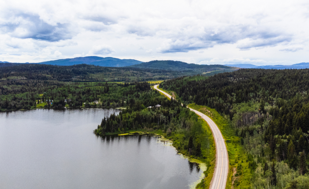
At the confluence of two rivers, there is a surprising amount of green space and urban parks.
Prince George also has a long history in WWII, industrial activities, and outdoor recreation. Some parts are a bit sketchy, so while exploring, keep your wits about you and stick with a buddy!
Things to Do in Prince George
There are a few interesting things to see and do while you explore Prince George.
Lheidli T’enneh Memorial Park to Cottonwood Park
A large park in Prince George, and also a place of burial for the Lheidli T’enneh people. The park now contains the cemetery, along with walking trails that connect you to the Hudson’s Bay Wetland Heritage River System (arguably my favorite part of Prince George).
The Cottonwood Trail connects the memorial park and Cottonwood Island with towering cottonwood trees. Enjoy a lovely stroll along the Fraser and Nechako River.
Other green spaces are the Connaught Hill Park and McMillan Creek Regional Park.
Explore Downtown & Small Businesses
The downtown core from 1st to 7th has a lot of cute shops, boutiques and art-filled spaces. Don’t miss colorful street art at the Omineca Arts Center or live music at Books and Company.
Crafters will love Makerie, and Dandy Lines is a cute local boutique home and garden shop.
Where to Eat in Prince George
As a larger city, there are plenty of places to eat. Some of the local favorites are:
- Nancy O’s for brunch
- Northern Lights Estate Winery for wine and nibbles
- Crossroads Brewery for craft beer
- Ritual Coffee for coffee
- North 54 for European and Italian
Where to Stay in Prince George
There aren’t a lot of independent hotels in Prince George, so I am going with a Canadian family-owned hotel choice, Prestige. With APA, Hilton, and Marriott all in a bit of a controversy, Prestige is a great choice as a bigger national chain.
The style and comfortable Canadian experience is a great choice for your stay in Prince George downtown.
Where to Charge in Prince George
Prince George has many chargers, including Flo and BC Fast Chargers. Make sure you are fully charged before heading out, as charging infrastructure becomes a bit more limited near Mt. Robson.
Driving Day: Prince George – Mt. Robson
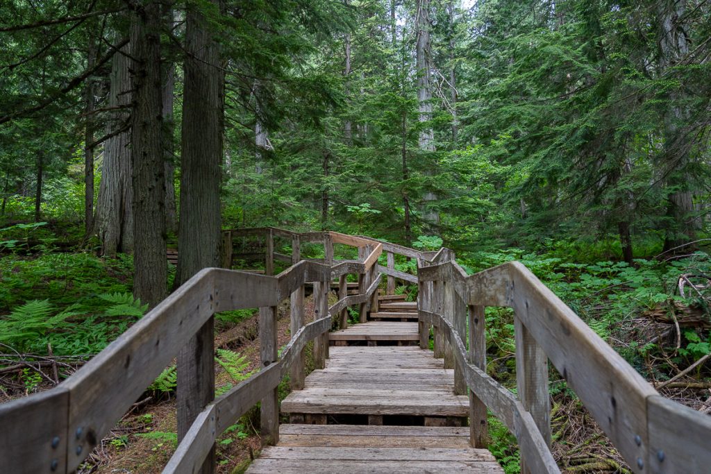
This drive is pretty quiet as you start to enter the Canadian Rockies. One place that is a must-stop is the Ancient Forest/Chun T’oh Whudujut Provincial Park, which is one of the last remaining pockets of inland temperate old-growth forest. This park is co-managed by BC Parks and the Lheidli T’enneh people.
Take time to soak up this ancient forest on a 3km loop trail!
It won’t be long until you reach Mt. Robson. Stop at any pullouts or towns that catch your eye.
Stop 7: Mt. Robson (2 nights)
Mt. Robson is the tallest peak in the Canadian Rockies, and it is a beauty. The mountain is covered in glaciers, offering impressive views on your drive across Highway 16! The provincial park is known for backcountry camping and hiking, and is one of the most stunning hikes in British Columbia.
We are entering new territory inhabited by the Secwepemc People. They refer to this mountain as Yuh-hai-has-kun, meaning “Mountain of the Spiral Road.” The provincial park has a visitor center and plenty of backcountry adventures!
The main hiking trail to Berg Lake was closed due to a massive flood and landslide in 2021. It has been meticulously restored, and we were some of the first people to hike these trails again in 2025.
Things to Do in Mt. Robson
There is arguably only one thing to do in Mt. Robson, and that is a hike!
Berg Lake Trail
The Berg Lake Trail is incredibly long and a very challenging hike. While the best scenery is well past Kinney Lake and up at Berg Lake Valley, you can do as much of this hike as you’re able.
For those with backcountry permits and campsite reservations, you can carry and pitch your tent at Emperor Falls or Berg Lake Campgrounds. There is also a lower elevation camp at Whitehorn and Kinney Lake that is more accessible.
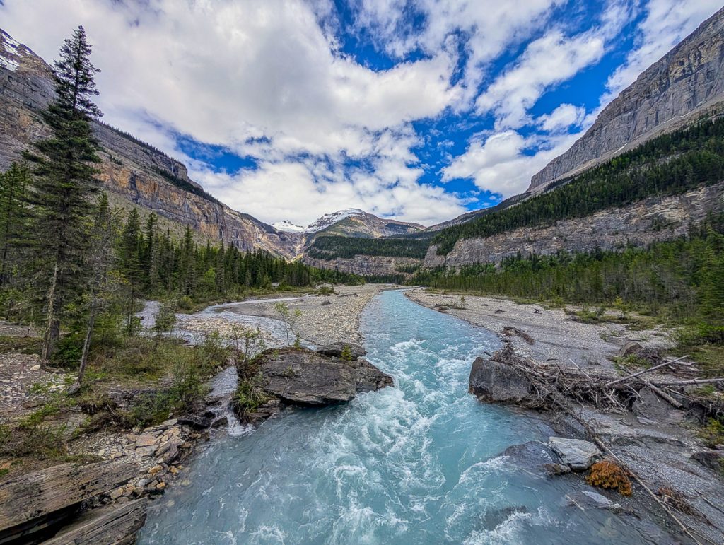
For those who are interested in a day trip, you can certainly hike most of this without a pack, and it will be a full-day hike, clocking in at over 30km with a lot of elevation, so come prepared. You can also hike as much or as little as you like without your tent.
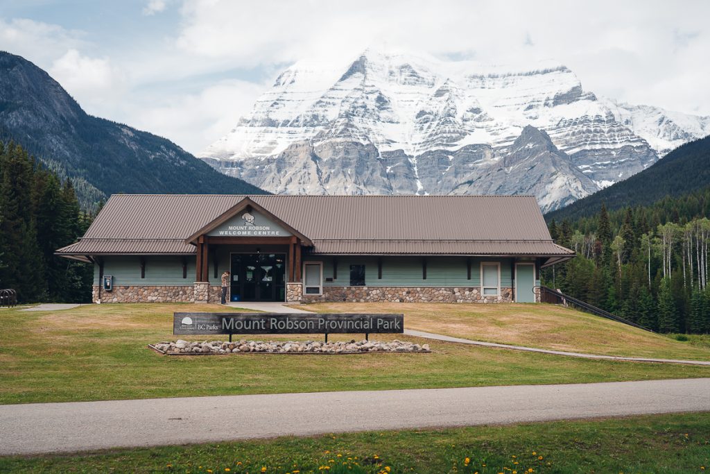
Mt. Robson Visitor Center
For expert advice and backcountry support, check in at the visitor center. This is also a lovely little museum and ecology center to learn more about the natural history of the park.
Overlander Falls
There is also a nice spot to stretch your legs without a lot of elevation at Overlander Falls, just a short drive from the visitor center.
Where to Stay in Mt. Robson
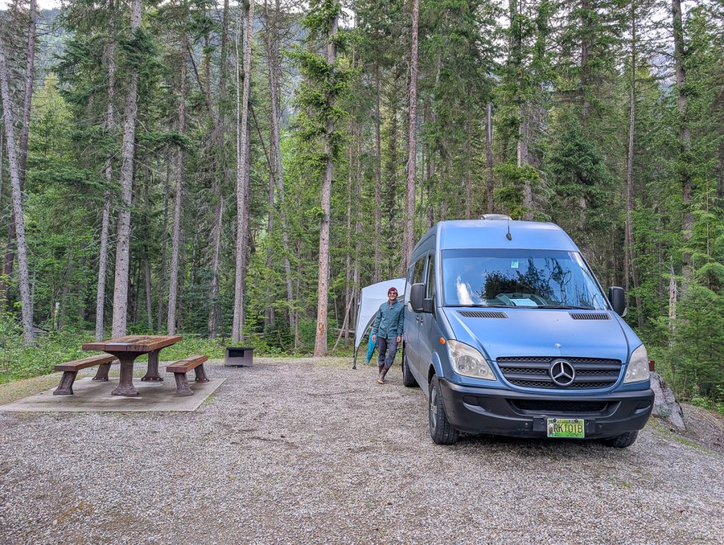
This was the portion of our trip where we had a campervan. We reserved 2 nights at Mt. Robson campground. We booked at the Robson River Campground, but there’s also the Meadows campground.
If you aren’t camping, check out accommodation in Valemont or any of the cabins outside of the provincial park.
Next Stop? You Choose!
This route connects with Alberta, making it a great segue into your Canadian Rockies road trip! If you want to finish all of Highway 16, head onward east to Winnipeg.
Alternatively, you can head down through Valemount and Kamloops to visit Wells Gray Provincial Park and end in Vancouver.
If driving West, this route connects with the Alcan via the Cassiar Highway up into the Yukon and eventually Alaska!
Yellowhead Highway 16 Map
Don’t miss my interactive map with all the best stops along the way!
Related Posts for Road Trip Planning
- Inside Passage Ferry Port Hardy to Prince Rupert
- Things to do in Prince Rupert
- Ferry from Prince Rupert to Haida Gwaii
- Things to do on Haida Gwaii
- Tips for Visiting Haida Gwaii
- Haida House at Tllaal Review
- Kitselas Canyon
- Nass Valley Auto Tour
- Prince George to Vancouver road trip stops
- Epic Slow Road Trip Itinerary for British Columbia
Comment and Share
Driving British Columbia’s stretch of the Yellowhead Highway 16 is an incredible road trip route. Sandwiched between rainforests, mountains, and a lake district, it is ecologically diverse, with so many chances for recreation and outdoor adventures.
The highway also traverses many First Nations’ territories for opportunities to learn about Canada’s Indigenous people. There are also a lot of charming small colonial towns with art, music, and good food!
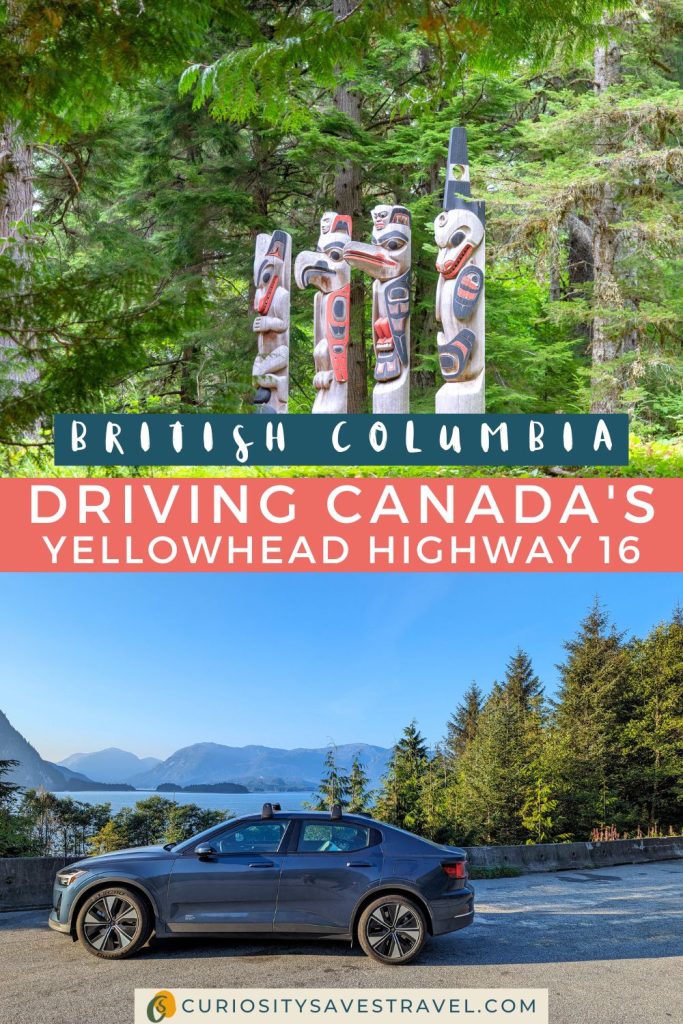
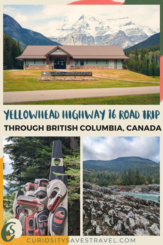
This route starts in Haida Gwaii and ends in Mt. Robson, truly crossing through some of Canada’s best landscapes. If you’re planning an adventure across BC, pin and save the Highway 16 Road Trip route for all my top tips and stops along the way!
Curiosity Saves Travel Recommends
Accommodation: Booking.com to find accommodation with a Genius Discount and clear third-party sustainable certifications like Green Key. Look for local hotels.
Tours and Excursions: GetYourGuide and Viator for tours, excursions, and tickets. Never book wildlife experiences through these vendors.
Travel: Omio for booking buses and trains in English across Europe. After reducing the number of flights I take annually, I use Google Flights’ carbon comparison tool.
Car Rental: Rentalcars for the best rates in English globally. It is easy to find hybrids and EVs, and there are resources for finding chargers.
Packing Essentials: REI or your local Co-op has great essentials like reusable water bottles and cutlery sets. Patagonia for regenerative clothing. Farm to Feet for socks made with regenerative practices! Pistil Designs for cold-weather essentials. Osprey for bags that last 10+ years, like the day bag for hiking or my favorite carry-on.
eSIM: Airalo eSIM. Reduces waste from single-use SIMs. A total game-changer.
For Bloggers and Content Creators
Earn Ad Revenue with Journey by Mediavine
Earn with Stay22 Travel Partnership (my biggest source of income!)
Earn with TravelPayouts recommending tours and activities.


Will add this road trip to our bucket list!!
Yes, this is definitely one of the bucket list! Let me know if you ever need more resources for planning your epic BC road trip!