
Nass Valley Auto Tour – A Self-Guided Road Trip Through Nisga’a Nation, British Columbia
I may earn income from affiliate links or partnerships in this post. I spend time to curate tours or products that align with my values. Thanks for supporting my work, at no additional cost to you. All words and images on this website are created by real people.
Are you curious about one of the best ways to experience Indigenous cultural tourism in British Columbia while on a road trip? The Nass Valley, home of the Nisga’a Nation, was an unexpected delight on our month-long road trip across British Columbia. During our few days in Terrace, I was so thankful that I came across the Nisga’a (Nish-ga) Nation’s Self-guided Auto Tour.
The Nass Valley Auto Tour was an excellent way for us to connect with the Nisga’a people and their land, and enjoy one of Canada’s most unique provincial parks, all within a fun, independent road trip experience.
The self-guided Auto Tour takes you into the heart of the Nass Valley, Nisga’a villages, and the Lava Bed Memorial Provincial Park, with 18 incredible natural and cultural stops. You can enhance your Auto Tour with guided excursions with Nisga’a guides.
The Nass Valley is unlike anywhere I’ve been. Here, where supernaturals (Indigenous god-like beings) battled violent volcanic eruptions that shaped the land with molten lava, where hot springs bubble, ancient Nisga’a monuments lie, and modern Indigenous culture carves a new path forward on Canada’s path of reconciliation, you can enjoy a seamless blend of nature, geological forces, and cultural heritage.
This guide will take you along with us on our journey through the Nass Valley. We will cover the natural and cultural history of the region, all 18 stops of the self-guided Auto Tour, and information on how to do this yourself. Of course, I’ll share all my tips for making the most of your auto tour and how to enhance your experience with guided tours.
If you are on a road trip from Prince Rupert across Highway 16 and beyond, be sure to take extra time to enjoy the Nass Valley. This Auto Tour is a unique Indigenous cultural and natural history tourism experience unlike anywhere else in the world.
As part of an ongoing mission to get to know my new home province, British Columbia, after moving here from Germany, my partner and I set off on a month-long road trip.
We visited when the Nisga’a Tourism was still recovering from the COVID-19 pandemic that devastated Indigenous Tourism in Canada. It is taking Indigenous tourism businesses years longer to recover as they deal with massive government funding cuts, slow recovery to rural tourism, and difficulty raising awareness.
We were welcomed travelers during a challenging year for them, but a few things, such as the hot springs, were closed for post-pandemic renovations, and guided tours were limited. But I’ll make sure to cover everything so you have the best time in the Nass Valley supporting regenerative Indigenous Tourism.
About the Nass Valley
The Nass Valley is the homeland of the Nisga’a People, who have lived here as one with the land since time immemorial. The cultural heritage of the Nisga’a People, combined with the incredible geology, landscapes, and biodiversity, makes this valley one of Canada’s most remarkable places.
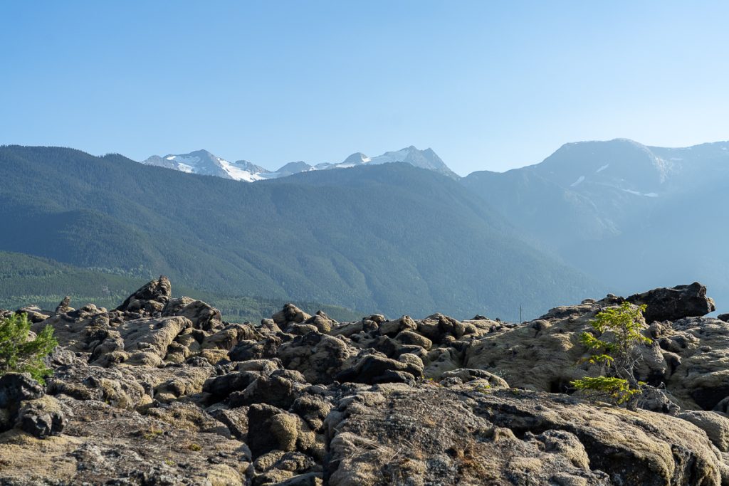
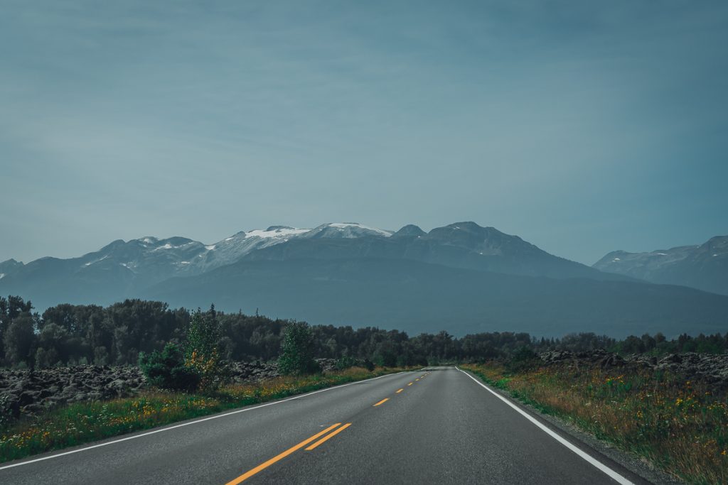
As I drove through the Nass Valley and stopped at the Auto Tour spots, I honestly couldn’t believe I was in British Columbia. The lava bed, the snow-capped mountains in the distance, the weathered totem poles, and the sunken forests felt otherworldly.
The Nass Valley is located in British Columbia’s mid-coastal region. It is north of Terrace and accessible by Highway 113. You can also reach it heading south from Northern British Columbia via the Cassiar Highway.
About the Nisga’a Nation
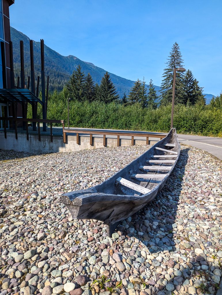
As with many of British Columbia’s Indigenous Peoples, the Nisga’a trace their roots back to the last ice age, surviving glacial recession, floods, volcanoes, and ecological changes. They live in the valley along the K’ali’i-Aksim Lisims (Nass River) to the coast, where they hunt, fish, and travel by foot and canoe.
The Nisga’a have four clan groups: Orca/Owl, Raven/Frog, Wolf/Bear, and Eagle/Beaver. They are a matriarchal society, with clans passed through their mother’s line. Within the clans, there are unique family houses called wilps. These are self-governing, led by a Chief and a Matriarch who co-govern.
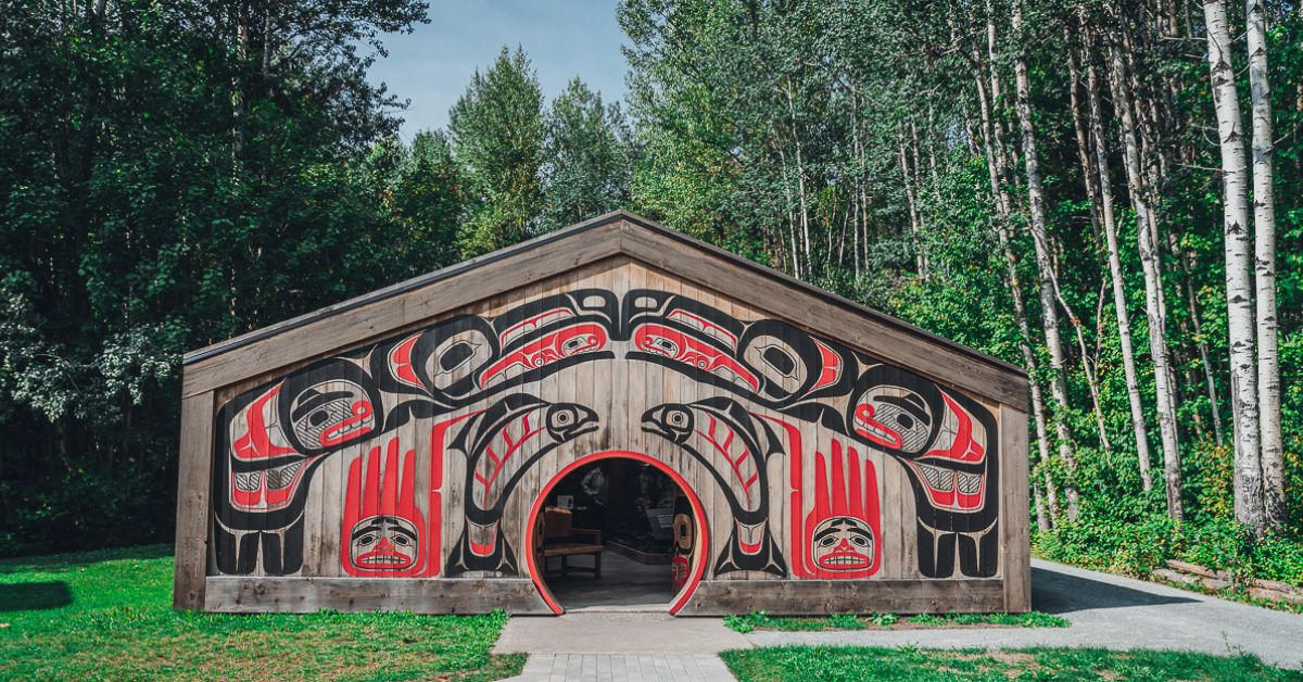
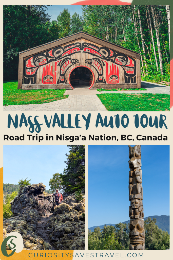
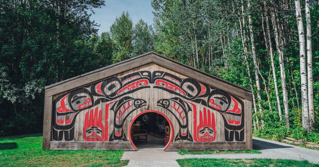
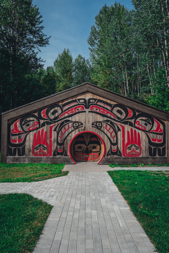
Their traditional houses are called plank or long houses. The visitor center is an excellent example of what these longhouses typically look like, featuring a wonderfully colorful and decorated interior.
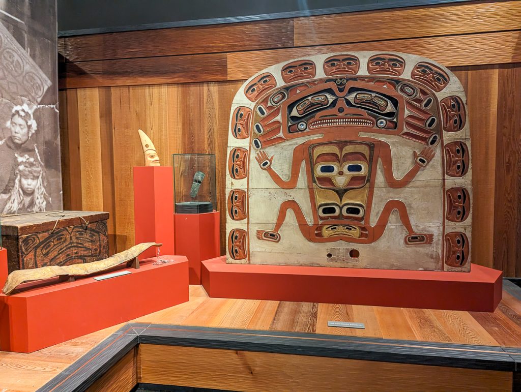
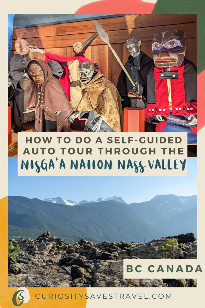
When you visit the Nisga’a Museum and Cultural Center, you’ll have the chance to see their intricate masks and learn about their spirituality and complex culture.
The Nisga’a had powerful shamans and halayt or medicine workers. Many of their artifacts are incredible rattles and bear claw crowns used by shamans.
Colonial Impact
Colonization led to a population collapse due to the spread of diseases, including smallpox. Despite a vaccine being available at the time, Indigenous people were not given treatment by their colonial oppressors.
Over time, the Nisga’a lost their right to govern themselves, lost access to their land, and had their children taken away to residential schools, where thousands died. This is now widely regarded as a genocide at the hands of colonial Canada.
Reconciliation
Since the late 1800s, the Nisga’a have led the fight for autonomy over themselves and their land. For more than a century, they fought at every level of government, until it finally reached a turning point when the Nisga’a went to Canada’s Supreme Court.
In a first-of-its-kind agreement, the Nisga’a were granted financial compensation for loss of life, land, and culture, as well as self-governance and the right to reclaim their land as their own.
The treaty only came into effect in May 2000 and has paved the way for a path forward for many Indigenous groups to reclaim rights, such as the Haida.
Today, the Nisga’a Nation has 2,000 square kilometers of land, including part of a shared provincial park. They have four villages including:
- Gitlaxt’aamiks, the capital
- Gingolx
- Laxgalts’ap
- Gitwinksihlkw
About The Provincial Park
The Nisga’a live in a geologically active valley, carved and shaped by glaciers, volcanic activity, earthquakes, and other forces. As you travel through the valley, you’ll have a front-row seat to the incredible geology and ecology of the region.
Canada’s most recent volcanic eruption was here in the late 18th century.
Nisga’a oral stories say: two children harmed a salmon, setting it on fire, and were laughing at its struggle. Just as an elder warned them that hurting nature had consequences, the ground rumbled, and the volcano erupted, a sign that nature’s harmony had been disrupted.
Gwaxts’agat, a supernatural, emerged, fighting the lava’s advance for days. Finally, the supernatural won, plugging the volcano with its long nose before it retreated to the sacred mountains.
During the multi-day eruption, the lava advanced, destroyed villages, and at least 2,000 Nisga’a lost their lives. The ecology of the Nass Valley and the entire way of life for the Nisga’a people changed after the eruption. The flow of rivers changed, trees were engulfed, animals perished, but the Nisga’a prevailed.
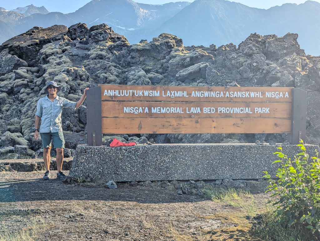
British Columbia designated the area a provincial park, calling it the Nisga’a Memorial Lava Bed Park. Since Nisga’a won their landmark treaty, the park is now co-managed, and an excellent place for cultural tourism. Today, the park is called Anhluut’ukwsim Lax̱mihl Angwinga’asanskwhl Nisg̱a’a Park.
About the Nass Valley Auto Tour
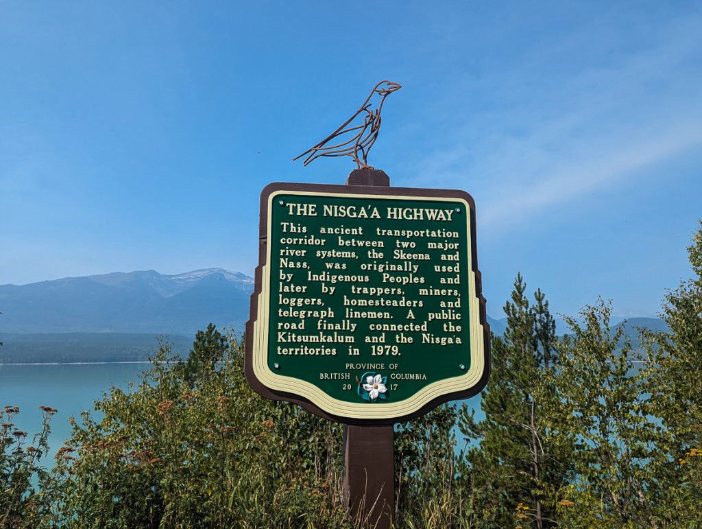
Before the co-management of the park with the Nisga’a Nation, the Nass Valley was a challenging place to travel. Most travelers through the region were unprepared; flat tires and lost travelers were a common burden. There was little to no information about the Nisga’a culture, people, or the landscape.
Since the landmark treaty of 2000, the Nisga’a, in partnership with the Canadian government and our regional tourism board, have worked tirelessly to create a safe, welcoming, and educational tourism experience for visitors.
Stats and Info About The Auto Tour
- 170 kilometers from Terrace to Gingolx (stop 18) one way
- 2.5 hours of driving time one way (not including stops)
- 18 stops total
- Stops include scenic pull-outs, hikes, hot springs, villages, cultural centers, and more
- Not a circular route, so you must drive back the same way you came
Quick Tips
- Leave Terrace with a full tank of gas or charge
- Full-service gas station in Gitlaxt’aamiks
- ChargePoint charger in Laxgalts’ap
- Only one public seafood restaurant
- Bring your own water, food, and supplies
- Limited cell services – download a map
You will want to have a tire repair kit, a satellite phone, snacks, and general safety equipment with you at all times.
Plan for any weather, and always have rain gear, bear spray, and sensible hiking and trekking shoes and clothing.
Look For The Auto Tour Signs
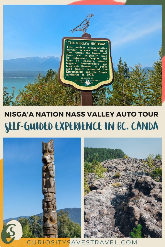
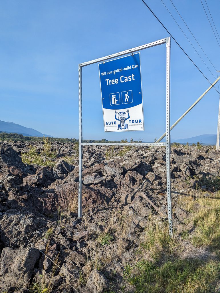
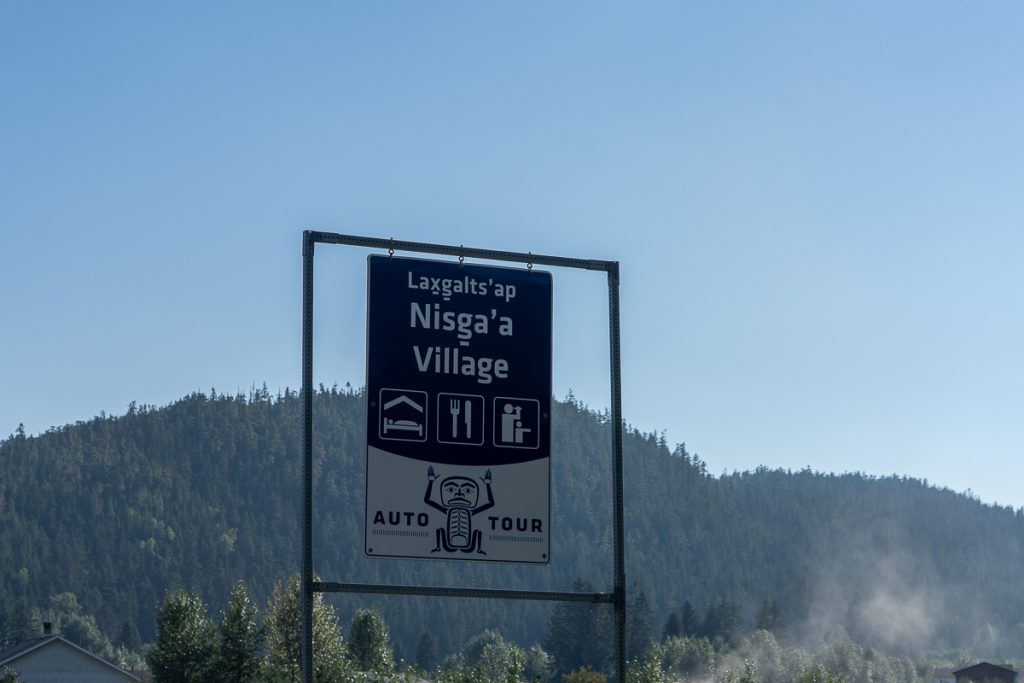
I recommend having the brochure with you for more context about each stop, but to help you find the stops, they are clearly marked with numbered signs. If you’re curious what a supernatural looks like, the image on the Auto Tour signs is their creator, K’am Ligii Hahlhaahl (Chief of Heavens).
Tips For Responsible Travel Through Nisga’a Nation
Take the Pledge
The Nisga’a have asked you to take a self-guided pledge before visiting. This pledge affirms your commitment to traveling safely, treading lightly, giving back, and being respectful.
Follow All Rules
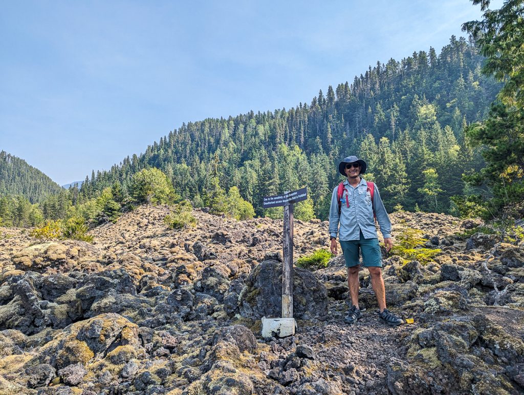
You are traveling through sacred lands that are culturally and ecologically sensitive. As the lava covered the land, thousands of Nisga’a were buried in natural graves. This is a place where Nisga’a supernaturals battled volcanoes, and giant lizards roamed—a place where the sacred mountains provided safe passage against floods.
Stay on the trail. Never go off-trail or disregard signs. In areas where you must travel with a guide, ensure you have a Nisga’a guide with you. To visit the hot springs, ensure you have paid and reserved your time in advance.
It is illegal to remove any natural or man-made artifacts from Nass Valley. Do not take any lava rocks or other natural items or artifacts with you.
Hire Guides
When you have the opportunity, hire a local guide, whether that is for the guided hike to the Tseax Cone or a Nisga’a youth-guided tour of the museum. Stop by the visitor center and make sure to ask Sylas or whoever else is working questions about themselves and their culture!
The museum and visitor center are non-negotiable stops in my book!
Why Take the Auto Tour?
The Auto Tour is a fantastic way to experience the culture, nature, and hospitality of the Nass Valley on your own time. The Auto Tour is self-driving with clearly designated stops where you can stretch your legs and learn.
The Auto Tour is designed to ensure you aren’t just a transient visitor passing through; instead, you are actively supporting regenerative Indigenous-led cultural ecotourism in a way that heals the land, the Nisga’a culture, and, I like to think, heals a little bit of your soul.
Visiting supports Indigenous cultural revitalization and cultural connections.
In addition to the Auto Tour, I highly recommend enhancing this experience with guided hikes, paying to visit private hot springs, and taking the guided tour of the Nisga’a Museum. Doing so will deepen your affinity and understanding of this complex and incredible place.
How to Plan Your Day
You can pick up a free copy of the Auto Tour at the Terrace Visitor Center or the Nisga’a Visitor Center. I recommend you get a copy in Terrace if you’re able, as there are a few stops before the visitor center.
I’ve summarized the stops, sharing personal experiences in this guide. They are listed in order, provided by the Nisga’a Nation, driving north from Terrace, and are numbered accordingly. However, I do not recommend that you follow them in exact order. You may choose to save a few for the return leg, skip a few altogether, or plan your day based on opening hours or guided hike times, depending on your priority.
A few stops, such as the hot springs, museum, villages, and the guided hike to Tseax Cone, can take several hours each to explore fully, and are time-sensitive. Other stops include quick pull-outs and scenic viewpoints, which can be visited at any time as long as there is daylight.
The Nisga’a Museum closes around 5 pm, and you won’t want to miss this!
Day Trip or Overnight in Nass Valley?
For a day trip, your priority should be the Visitor Center and museum. From there, pick another priority or two for your day trip (a guided hike, government tour, or a hot spring). You can then flesh out your day around that.
I recommend avoiding this tour on Mondays and Tuesdays, as the museum is closed on those days.
If you want to do it ALL at a slower pace and not feel rushed, there are campgrounds and inns if you choose to stay in the Nass Valley.
While we enjoyed our long day trip, we did skip a few things, not by our own choice, though. The hot springs were closed, and the Charge Point charger was not yet operational, limiting our range.
That being said, if I return and do it all again, I would love to stay a night or two in the Nass Valley for a little more time.
No matter how long you stay, you will have an incredible time.
Starting the Auto Tour
We started our day in Terrace, British Columbia. Most of the Auto Tour can be done as a very long day trip from Terrace, like we did. This will be a long day on the road, so start early in the morning, budget your time well, and if you miss one or two stops, it is totally ok.
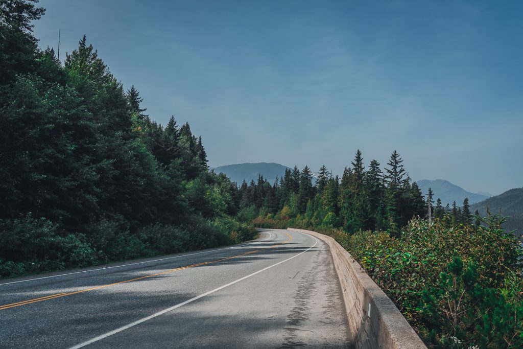
If you are starting your day in Terrace, drive north along Highway 113.
Fun Fact: The Highway is called Highway 113, as that is the number of years the Nisga’a fought for their right to self-govern themselves and their land.
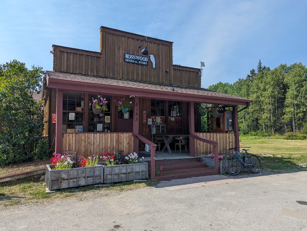
You’ll pass Kitsumkalum Lake and Rosswood. Both are worth a quick stop. The Rosswood General Store is the perfect local and sustainable stop for snacks and drinks for the road.
After about an hour of driving, you’ll come to your first of 18 stops.
Nisga’a National Auto Tour Stops
Stop 1: Welcome to Nisga’a Nation
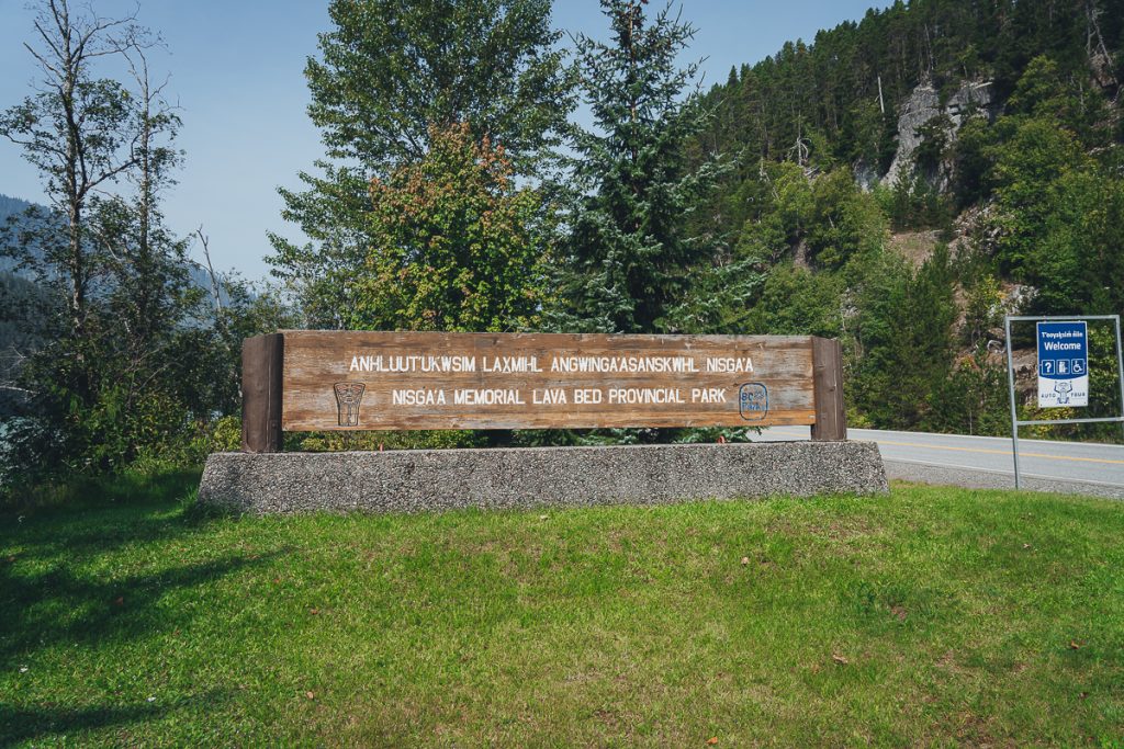
About an hour north of Terrace, BC, at the southern tip of Lava Lake, you’ll come to the first stop. This marks the beginning of the Provincial Park, the Nisg̱a’a Memorial Lava Bed Park (Anhluut’ukwsim Lax̱mihl Angwinga’asanskwhl Nisg̱a’a Park). You are still in British Columbia, but it is the gateway to the Nass Valley and Nisga’a lands, so the nation welcomes you.
This is a very special place in Canada, as it was the first provincial park jointly managed by a First Nation and BC Parks. Others have followed, but this park laid the foundation and framework.
There is a nice view of the lake, but we were only here for a few minutes to take a photo and read the welcome sign.
Stop 2: Lava Lake (Sii T’ax)
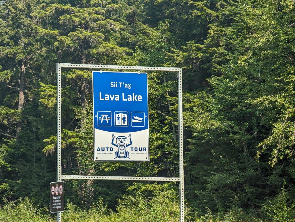
When the great volcano erupted, it dramatically changed the entire geo-ecology of the Nass Valley and the lives of the Nisga’a people. As thick lava flowed from the Tseax Cone, it clogged rivers and waterways. Whole sections of the forest were flooded, the course of the Nass River changed, and Lava Lake was formed.
The Nisga’a name for the lake Sii T’ax means new lake.
This was a quick scenic stop for us to take a photo of the lake. But there are picnic benches, pit toilets, and a boat ramp. If you have a SUP or kayak and the time to spend enjoying the lake, this is a great chance to do so.
Stop 3: Crater Creek Walk (Ksi Wil Ksi-Baxhl Mih)
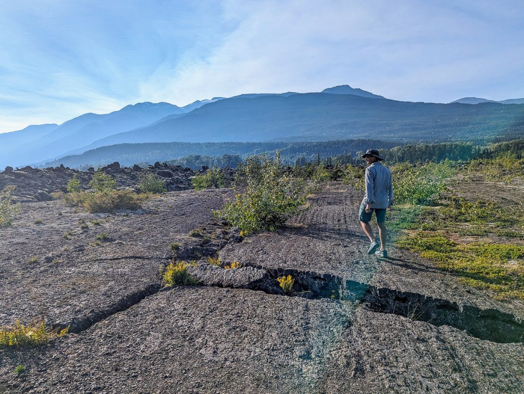
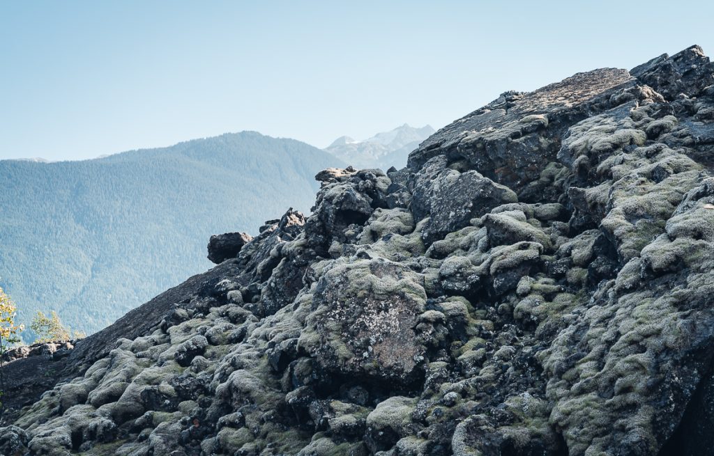
The short Crater Creek walk was one of my top favorite stops to stretch our legs and become better acquainted with the region’s geology. This is only about a 600-meter “hike” that takes you from the info booth up to a lookout. Since the last ice age, several eruptions, including the one around 250-300 years ago, have spewed “lava bombs” and contributed to a vast expansion of a lava field.
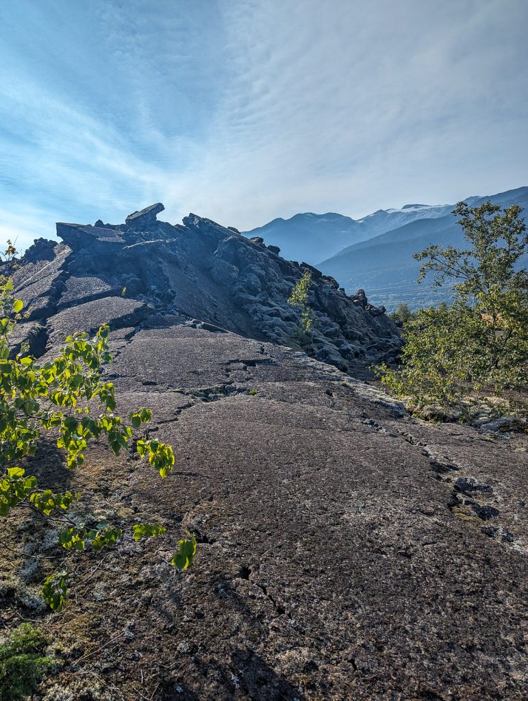
The trail across is rocky, with loose volcanic rocks covering the lava flow. The area appears desolate, but a sensitive plant community is thriving, and the land is sacred to the Nisga’a People. Therefore, it is crucial to stay on the trail and not venture beyond the sign marking the end of the trail.
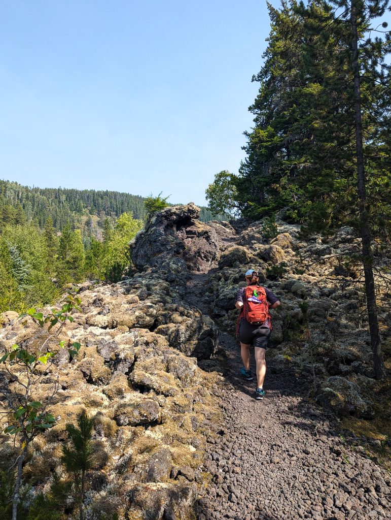
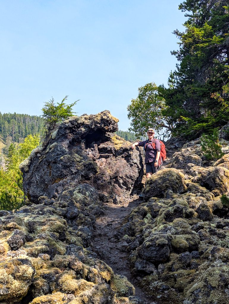
As you traverse, there are some info signs to learn about the latest eruption and the Nisga’a supernatural that stopped the eruption.
We enjoyed this short hike on our own. However, if you have additional time in the region, or plan your day accordingly, you can enhance this experience by joining a guided hike with Indigenous-owned Nass Valley Tours. A Nisga’a will take you on an extended hike through their sacred territory to visit the volcano cone.
The guided hike is a 6-kilometer, 4-hour hike running every Thursday, Saturday, and Sunday during the peak summer months, starting at the end of May. Tours begin at 1 pm, 2.5 miles north of Stop 2, on a private road. Tours are $30.
Note: This tour ends around 5 pm, and the museum will be closed by then. If you want to visit the museum, start at the museum or stop 18 early in the morning, and work your way down to join the hike at 1:00 p.m. Alternatively, this may be an option for those who spend the night in the valley.
Email: [email protected] or visit their website for more details.
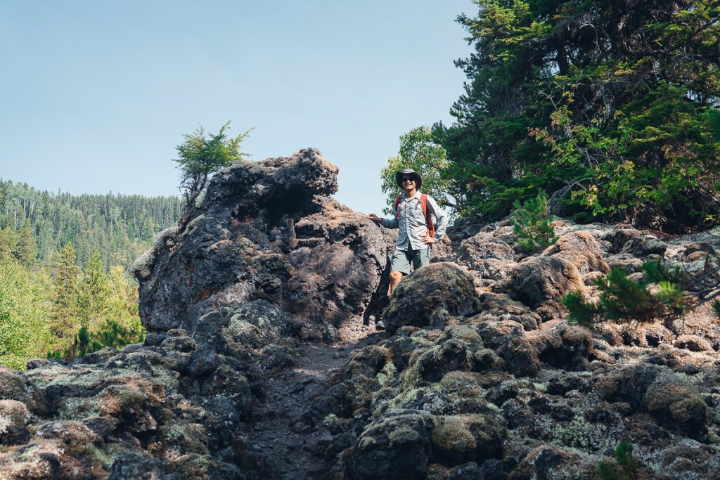
Stop 4: Drowned Forest (Dihlaa Nii-Baxhl Aks Sbayt-Gan)
When the last volcano erupted, changing the flow of the Tseax River, parts of the forest “drowned.” Stop 4 on the Nass Valley auto tour is a very short (30-meter) walk to a viewpoint overlooking the rushing river and a forest.
When the water levels are particularly high, the river rises and flows through the forest. Enjoy the view and the porous volcanic rock, constantly being eroded and reshaped by the river.
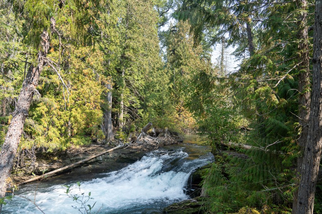
Stop 5: Beaupre Falls (Ts’itksim Aks)
Welcome to the southern border of Nisga’a’s treaty lands, where modern maps mark the end of British Columbia and the start of Nisga’a Nation. Another great stop, Beaupre Falls is a pleasant 5-minute walk through a quiet forest. At the end of the trail, we were rewarded with a view of a stunning waterfall, falling from a mountain.
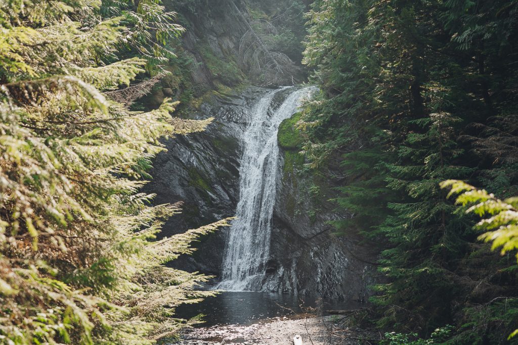
Stop 6: Vetter Falls (Ts’itksim Aks)
While Vetter Falls isn’t a tall waterfall like Beaupre, this small cascading fall feeds into Vetter Creek and comes from the larger Tseax River. The ecology around Vetter Falls is incredibly unique, a testament to the adaptability of some animals to changes.
Since the last volcanic eruption brought immense amounts of lava that hardened, rivers changed course and carved a new path. Not far from Vetter Falls, the river becomes submerged under a lava bed. Steelhead trout have slowly evolved to have longer, almost snake-like bodies as they get trapped where the water becomes submerged, and longer bodies help them navigate the new environment.
Locals refer to these fish as phantom trout. Keep an eye out for them in the clear pools around the falls during certain times of the year. This stop is a 300-meter walk.
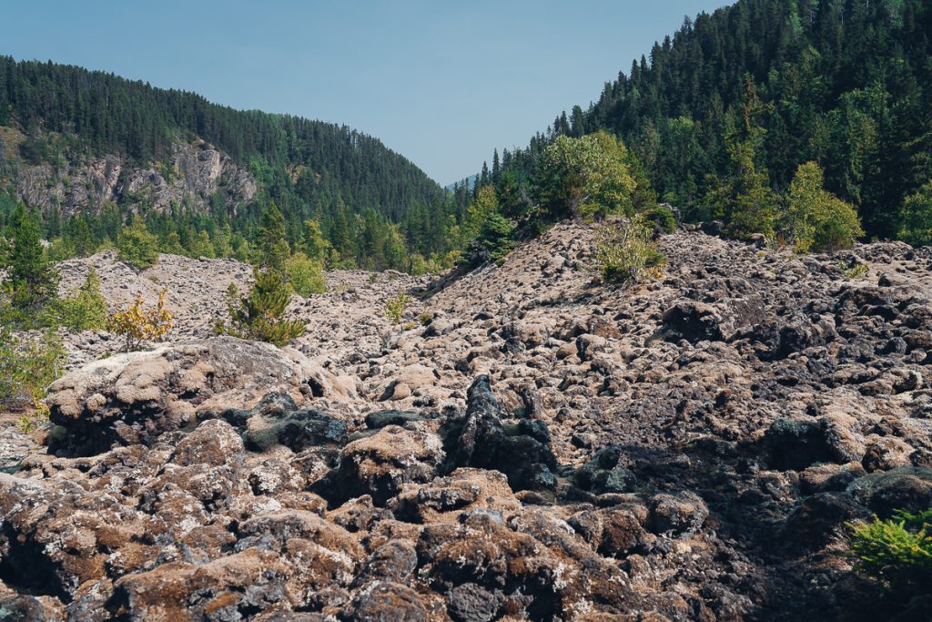
Stop 7: Visitor Center (Wilp T’aam Lax -Sankw’ax)
The visitor center is such a gem! It is a small center, designed in the style of plank houses. Take time to pop in and say hello to the custodian. On the day we did the Nass Valley Auto Tour, Sylas was working. I enjoyed chatting with Sylas, and when I asked him what clan he belonged to, he proudly said Eagle.
I carefully broached the topic of the Nisga’a treaty. He clarified that each Nisga’a person feels differently about the treaty and not to put his words in the mouths of others. Some felt the treaty wasn’t enough after 113 years of fighting the government. Still, for him personally, with his heart, eyes, and mind open, he noticed the positive changes in his lifetime that the treaty had brought about. He said the road to reconciliation is still long and challenging, but he was hopeful for the future. Sylas plans to become an elder eventually and was happy to share Nisga’a stories.
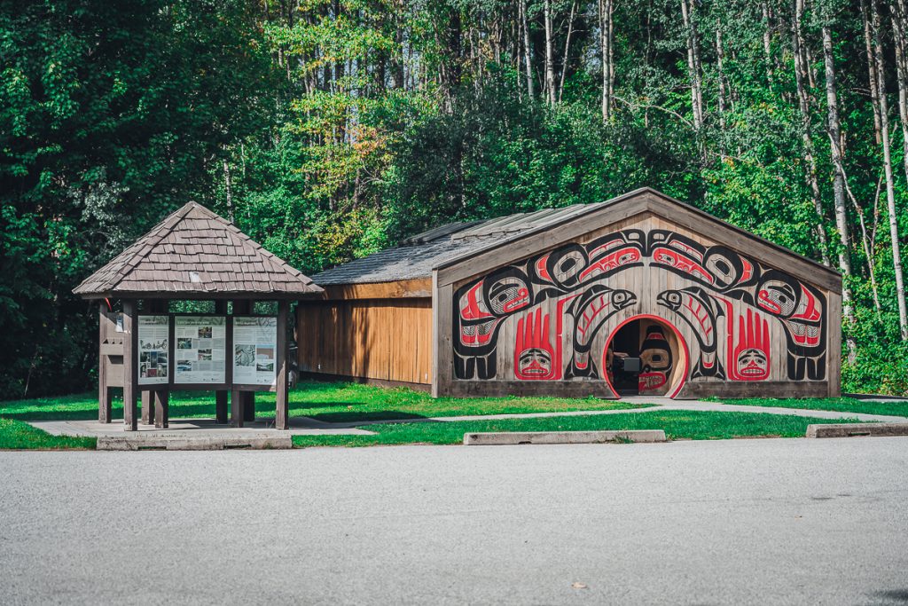
We asked about EV chargers in the valley. One was installed near the museum but was not yet operational. He gave us the names of people in towns if we needed a charge. We somehow knew we wouldn’t be stranded if our battery died.
As we left, he shut the door so I could get the perfect picture.
The visitor center is a great place to get acquainted with the Nisga’a lands and culture. Ask questions about what is open and suggested stops. Bring some cash to support Nisga’a art and take home a unique souvenir.
Stop 8: Tseax River (Ksi Sii Aks)
I’ve mentioned the Tseax River several times throughout this post, and finally, you get a great view of the famous river. Most of us will enjoy a scenic lookout over the river and chances to see both salmon and trout spawning.
The river is a critical fish habitat, and thus, both black and brown bears are common sightings here. So practice bear awareness and safety. Never leave trash or pollution behind.
For those with proper fishing permits, permission, and knowledge about local fishing regulations on Nisga’a Treaty Lands, this is a popular fishing spot!
Stop 9: Gitlax-t’aamiks
Welcome to your first Nisga’a village, the capital and governmental center of the Nisga’a nation, Gitlax-t’aamiks. The name of the village means “People of the Ponds.”
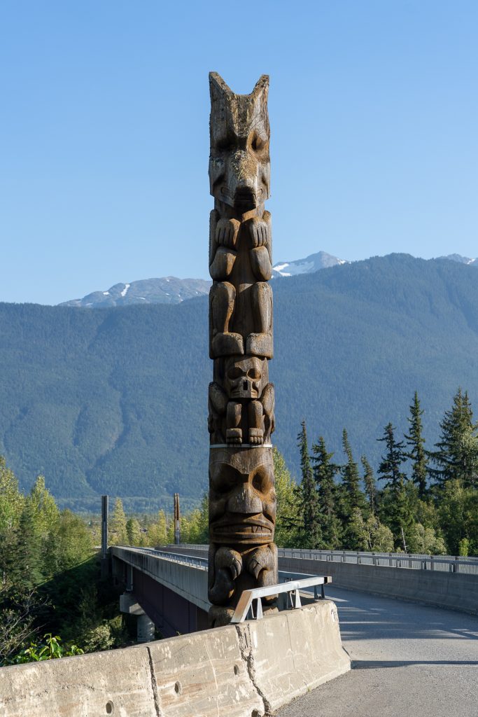
There is a lot to do and see here, but make sure you see the four pts’aan (totem poles) at the entrance to the community center. Can you spot each of the 4 clans on top of the poles? Raven, Wolf, Orca, and Eagle.
As the capital, you can take part in a government legislature tour when they are happening.
Don’t miss the unity pole, which is the first pts’aan raised in the Nass Valley in over 100 years. This pole is 60 feet high and represents a new chapter for reconciliation and cultural revitalization after a long period of colonial oppression that did not allow for Nisga’a to engage in traditional activities such as potlatches and totem raising.
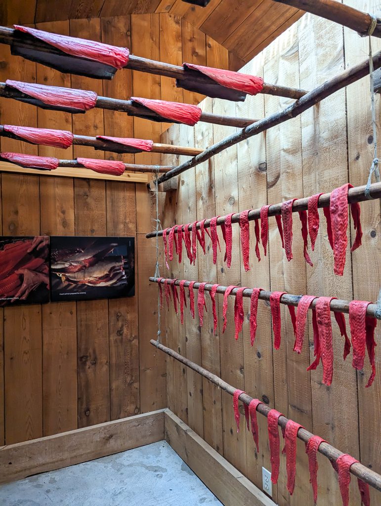
The village is also home to smokehouses for drying salmon (the visitor center has a replica).
While this is a modern Nisga’a village, there are a few remains of ancient plank houses from an original village site closer to the river.
Stop 10: Nass River View and Boat Launch
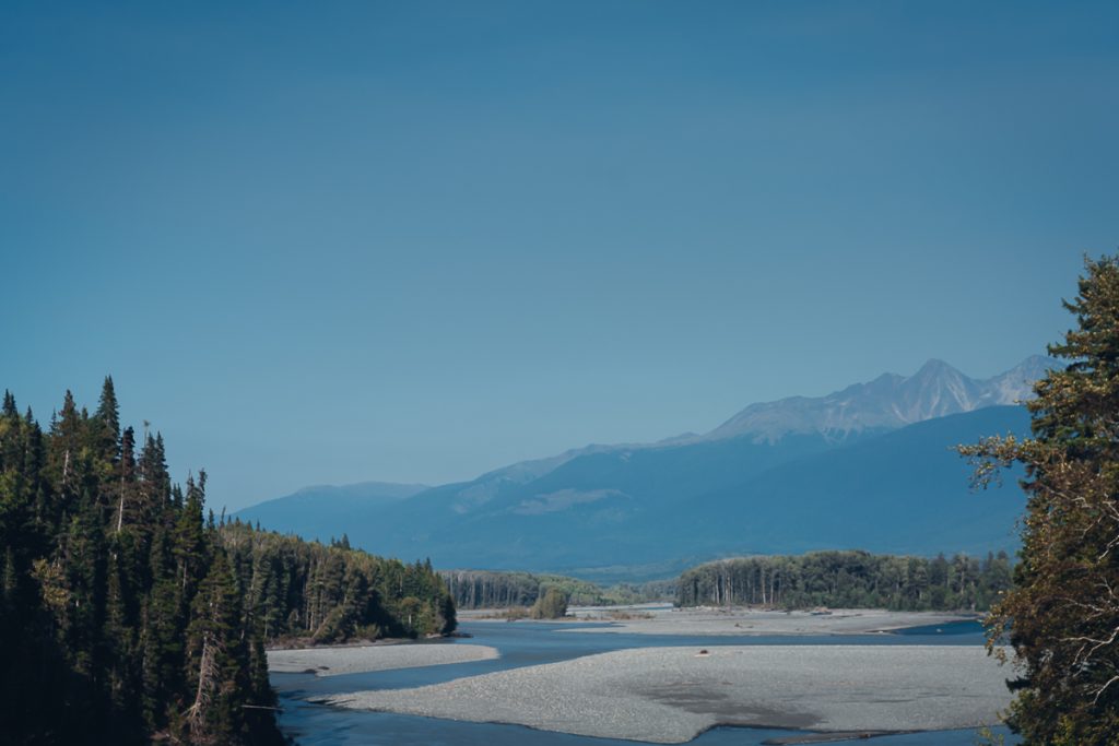
For views of the mighty K‑’alii-Aksim Lisims (Nass River), don’t miss stop 10. While this is a heavy-use site for locals launching boats, the views are lovely.
This is also the site of the “elephant trunk.” As lava flowed into the river, it rapidly cooled and formed unique formations of hardened lava, including one that looks like an elephant trunk. Can you spot it?
Stop 11: Tree Cast (Wil Luu-galksi-mihl Gan)
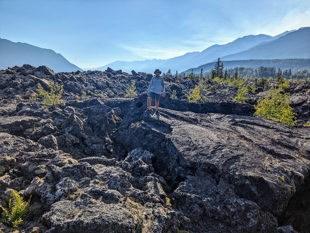
As the relentless advances of lava from the last eruption engulfed entire forests, many of the trees were destroyed by lava. As the lava hardened around the tree, the tree burned, leaving casts of the tree. One such cast is found at stop 11 on the Nass Valley Auto tour.
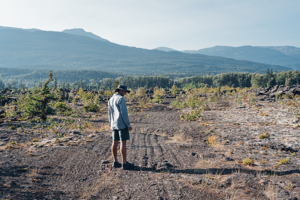
This is a 10-minute hike through an open lava expanse. Even though this is a very short walk, the trail is not marked super well once you leave the boardwalk. Admittedly, we got a bit lost. Try to walk straight until you come to a crater-like indent with a hollow tube in the center.
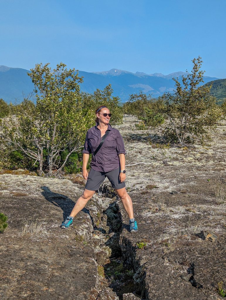
This trail requires careful footing. We had to jump over a few gaps in the lava and keep a close eye on the direction we were heading.
The view of the valley from the tree cast is fantastic. Enjoy 360-degree views of the snow-capped mountains and the expanse of the lava field.
Stop 12: Gitwinksihlkw
My absolute favorite Nisga’a village, the entrance driving up and into Gitwinksihlkw (get-win-shilk) is just stunning! Gitwinksihlkw is known as “The Place of Lizards.” Before the volcanic eruption, large lizards were a common sighting in the area, and unfortunately, they went extinct as a result of the eruption.
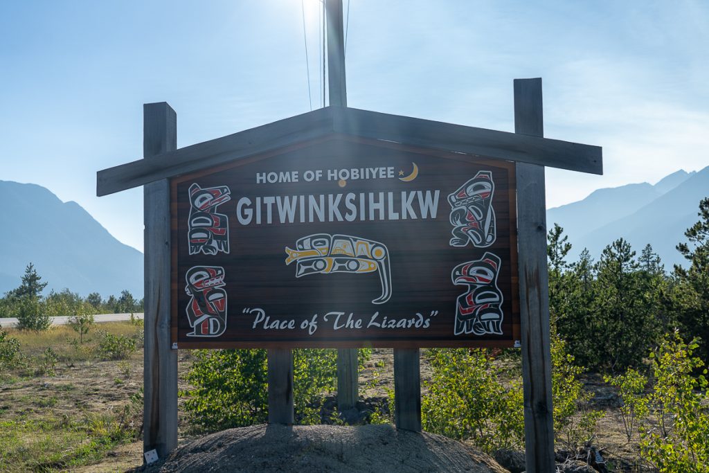
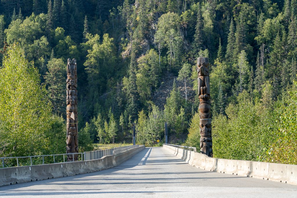
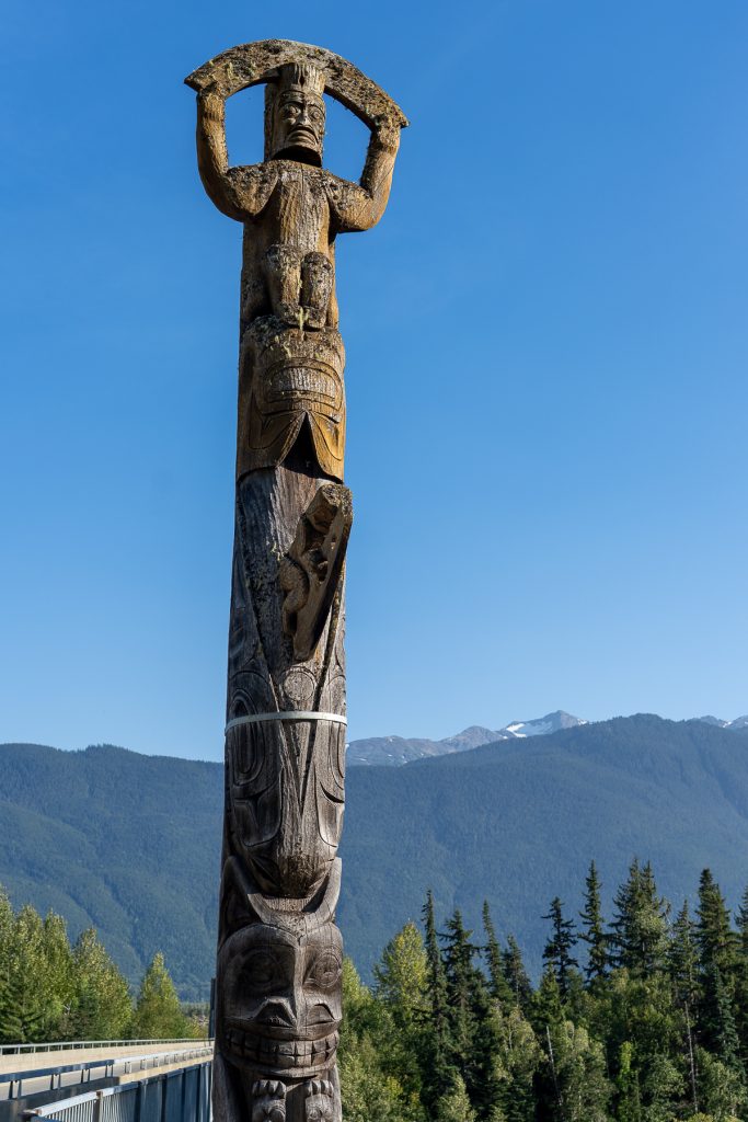
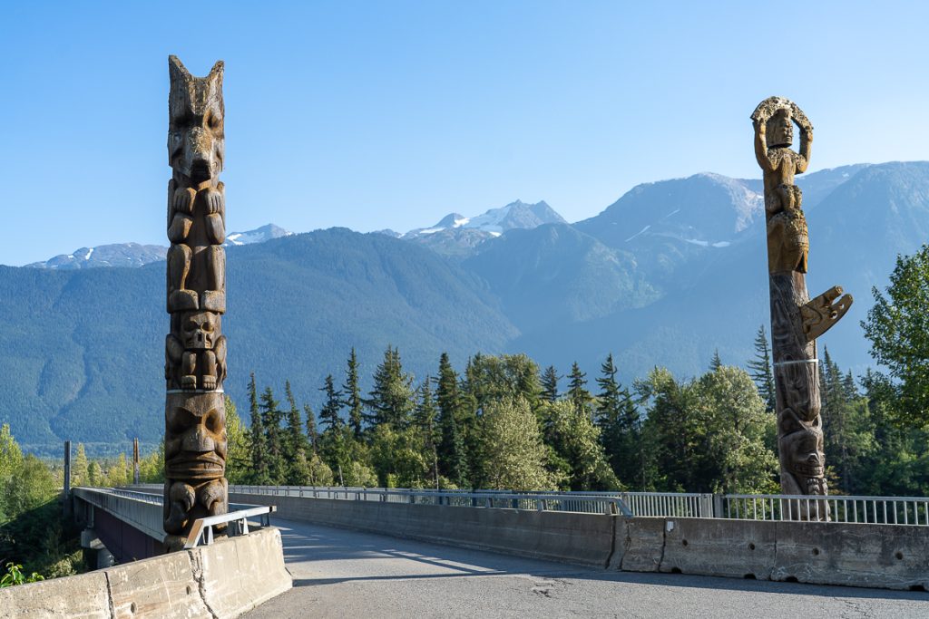
Drive across the 400-foot suspension bridge, where four weathered pts’aan (totem poles) stand guard, two on either side. As you drive or walk across the bridge, enjoy stunning views over the Nass River and valley.
In the small village, there are several large totem poles, notably the bear’s den and the educational pole. Gitwinksihlk is also home to Nisga’a University, more government offices, and a fishwheel. Stop in the government building to inquire about tours and information.
Stop 13: Dedication Site (Anhluut’ukwsim Lax-mihl)
Another mandatory stop in my book, the dedication site honors the long-fought battle for co-management of the Provincial Park and the Nisga’a Nation. You are allowed to walk on the lava here freely, unlike in most other places where you’re asked to stay on the trail.
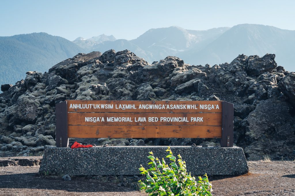
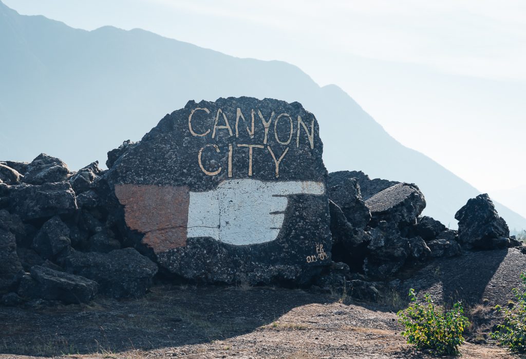
There is a giant hardened lava bomb and a sign for the provincial park. Old graffiti on the lava formation points to “Canyon City,” the colonial name for Gitwinksihlkw. This is a quick stop, but it really highlights the contrast between colonialism and modern Indigenous treaties.
Stop 14: Isgwit Hot Springs
I was so bummed the hot springs were closed for post-COVID updates and maintenance when we came through. I hope you can enjoy the two newly refurbished wooden hot tubs, but please do so in accordance with all booking requirements.
The Isgwit Hot Springs are a sacred place and a registered heritage site. You are not permitted to enter unless you register, reserve, and pay for entrance. To book your hot spring dip, read over the brochure for payment and contact details. Once you do this, getting to the springs is a short walk through the forest on a boardwalk.
The hot springs are the dwelling place of Sbi Naxnok, a supernatural. The smell of the natural sulfur is said to be the scent of this being.
Stop 15: Laxgalts’ap
One of the older village sites in the Nass Valley, Laxgalts’ap feels surprisingly modern. The name means “Village on Village,” and over the millennia, the Nisga’a people have built on top of their ancient village sites time and time again.
The town is near one of British Columbia’s most important estuaries, and all five species of Pacific salmon spawn here. There are still many traditional fish smokehouses in use today.
Another highlight is the carving shed. On the days it is open from 9 am – 5 pm, you can visit for the chance to see master Indigenous carvers at work creating art, totems, canoes, or other wood-working ventures. For decades, this center has served as a space for knowledge sharing and the preservation of Nisga’a culture.
There is a newly opened EV charger here. It is a slower charger, but it’s an excellent spot for a top-up if you’re driving with your EV like us!
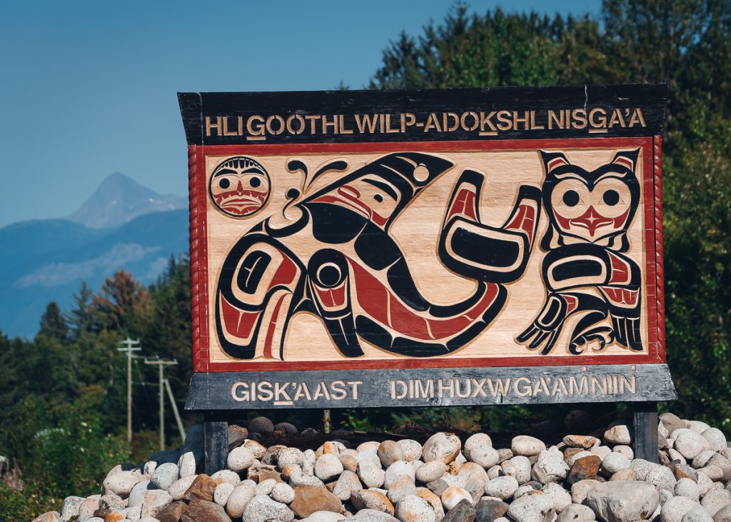
Stop 16: Nisga’a Museum (Hli Goothl Wilp-Adokshl Nisga’a)
Unless you are visiting on a Monday or Tuesday, the Nisga’a museum is another must-visit in my book. This was absolutely the top highlight of our Auto Tour experience. We paid extra for a Nisga’a Youth guided tour for local and personal contact.
What makes this museum so special? These artifacts were taken from the Nisga’a in the 19th/20th century. Many were destroyed, while others were sent to the Royal BC Museum, museums in Ottawa, or beyond. During the treaty, many masks, art, and artifacts were returned to the Nisga’a. Now the Nisga’a museum is fully built, owned, operated, and curated by Nisga’a people.
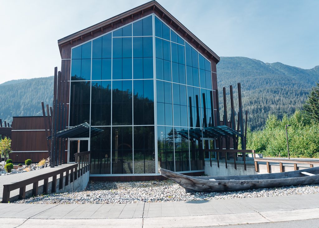
In the heart of the Nisaga’a Nation is the most beautiful museum. There is something deeply profound about visiting a museum curated, designed, built, and hosted by the people it represents. You can only get so much from looking at artifacts taken halfway around the world to be put in a case with best guesses about their purpose.
At the Nisga’a museum, we viewed incredible pieces with our Nisga’a Youth guide, who provided first-hand information about the artifacts with references to their own ancestors.
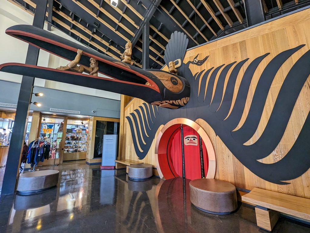
The entrance was undoubtedly a highlight— like entering the belly of a giant raven. After being engulfed by the bird, we were in a small but powerfully curated museum.
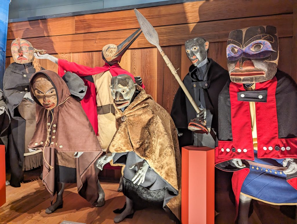
Some of the highlights were masks worn during ceremonies. People would wear masks like those of frogs or wolves, wear garments, and assume positions to make them appear as if they were the animal.
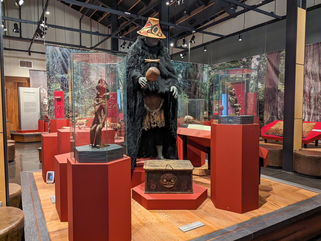
Many of the Nations in this region had Halayts (Shamans), who wore crowns made of bear claws and cloaks made from bear hides from the animal they would face head-on in battle. They received their shamanic powers from journeying to places where supernaturals lived.
Once the supernatural awoke, it imbued everything with its power. The Halayt would collect items with this power and place them in a sacred rattle. Returning to their clan, they took on the role of healer, spiritual leader, and supernatural liaison.
I had never heard such detailed descriptions of an Indigenous culture, and everything was new to me, so I soaked it all up with awe.
Toward the end of the museum was a telephone. Our guide said this might have been the most important artifact. When Canada banned Potlatches (now considered an act of cultural genocide), the most important cultural gathering, many still held these in secret. The modern device was used to notify people when checks were being conducted, allowing them to disband the Potlatch before it was discovered, thereby helping people continue to share their culture.
Stop 17: Fishery Bay (LaxDa’oots’ip)
Oolichan are small smelt fish. They are incredibly oily, so much so that you can dry out the fish and use it as an oil-burning lamp. These fish are incredibly important to Indigenous people, such as the Nisga’a, and colonial commerce along what is known as the “Grease Trail.”
Fishery Bay is a vital harvesting site for these fish, when they return upriver from the ocean. During certain times of the year, typically closer to August, you will see people and bears harvesting oolichan along the Nass River.
Stop 18: Gingolx
The last stop on the Nass Valley Auto Tour is the 4th and final village site for the Nisga’a Nation. Gingolx means “Place of Skulls.” This imposing name was intended to deter potential invaders. Today, though, you won’t get scalped, and Gingolx is known as a seafood capital.
The bountiful waters under the Nisga’a stewardship are critical for ocean and marine health and food security. You’ll find the only public restaurant in all of the Nass Valley called “U See Food, U Eat Food,” which is a common joke in many of our First Nations. Enjoy some of the freshest seafood in the world!
Take time to stretch your legs along the beautiful coastal walk, and even take a short hike for views over Gingolx. There are also plenty of longhouses, totem poles, and cultural sites.
Returning to Terrace
And that’s The Nass Valley Auto Tour, with all 18 stops. We saved some of the stops for the return drive to break up our day and ensure we arrived at the museum before it closed.
Once we left the Nass Valley, the drive back to Terrace was smooth sailing.
Where to Stay
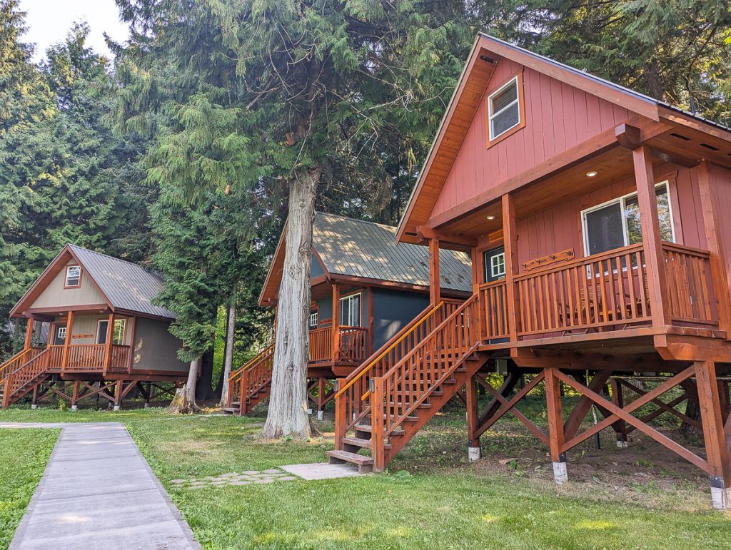
We stayed in Terrace at the Hidden Acres Farm and Cabins. We absolutely loved it here and cozied up in our cabin on a working farm. We spent our evenings out reading by the fire pit and BBQing veggies on the grill. The cabins were comfortable, clean, and sooo cozy. The owners were friendly, and everything was locally owned and operated.
If you want to stay in the Nass Valley, though, there are a few campsites and inns, including:
- Nisga’a Memorial Lava Bed Park Campground
- Gingolx Campground
- Nass Valley Bed and Breakfast
- Lavinia’s Bed & Breakfast
Bringing your Electric Vehicle
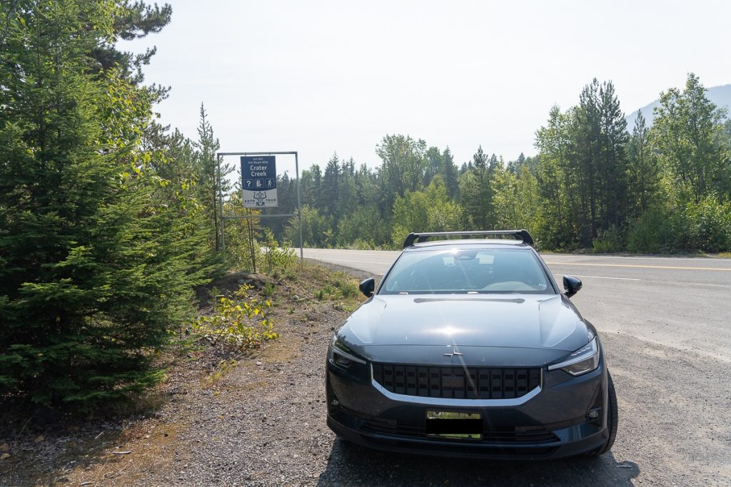
We drove our electric vehicle before the charger was fully operational in Laxgalts’ap. Depending on the range of your car, you should be able to do most of the Nass Valley Auto Tour, and you can use the newly opened Charge Point charger only if you need it.
You should note that the drive out to Gingolx is uphill from Terrace to the Visitor Center, before flattening out, so this will deplete your charge. However, the return drive is mostly downhill, so you’ll regain quite a lot with regenerative braking. Without charging on our Polestar 2, we made it back to Terrace (where there’s a free fast charger) with just a few percent left. We definitely cut it close.
Keep an eye on your range, consider cutting out a few stops to save on charge, and charge as needed.
Comment and Share Nass Valley Auto Tour
Are you planning an epic road trip across BC? While British Columbia is renowned for its incredible natural beauty and diverse wildlife, Indigenous cultural tourism offers a meaningful way to enhance your journey.
I loved this Auto Tour because it combines everything I love about road trips: independence with regenerative elements such as cultural revitalization and Indigenous-led experiences.
If you find yourself driving through Terrace, then I definitely recommend you add on the Nass Valley Auto Tour for a one-of-a-kind cultural road trip experience.
Related Posts
- Inside Passage Ferry Port Hardy to Prince Rupert
- Things to do in Prince Rupert
- Yellowhead Highway 16 from Haida Gwaii to Mt. Robson
- Kitselas Canyon
- Prince George to Vancouver road trip stops
- Epic Slow Road Trip Itinerary for British Columbia
Curiosity Saves Travel Recommends
Accommodation: Booking.com to find accommodation with a Genius Discount and clear third-party sustainable certifications like Green Key. Look for local hotels.
Tours and Excursions: GetYourGuide and Viator for tours, excursions, and tickets. Never book wildlife experiences through these vendors.
Travel: Omio for booking buses and trains in English across Europe. After reducing the number of flights I take annually, I use Google Flights’ carbon comparison tool.
Car Rental: Rentalcars for the best rates in English globally. It is easy to find hybrids and EVs, and there are resources for finding chargers.
Packing Essentials: REI or your local Co-op has great essentials like reusable water bottles and cutlery sets. Patagonia for regenerative clothing. Farm to Feet for socks made with regenerative practices! Pistil Designs for cold-weather essentials. Osprey for bags that last 10+ years, like the day bag for hiking or my favorite carry-on.
eSIM: Airalo eSIM. Reduces waste from single-use SIMs. A total game-changer.
For Bloggers and Content Creators
Earn Ad Revenue with Journey by Mediavine
Earn with Stay22 Travel Partnership (my biggest source of income!)
Earn with TravelPayouts recommending tours and activities.




Loved this self-guided tour! I am quite uneducated about indigenous travel destinations, so I really loved learning about their culture. Gitwinksihlkw and the lizards is such a fun fact!! Were there any drawings or depictions of the lizards before the eruption? I’m obsessed! Definitely saving for my next trip to BC.
I am so happy I could introduce you to the Nisga’a people in British Columbia. The Nass Valley road trip was such a fantastic way to learn about their traditional lands and culture.
This sounds like such an incredible and meaningful road trip experience. I’ve traveled through parts of British Columbia, but haven’t yet explored the Nass Valley—your description of the Nisga’a villages, lava fields, and cultural stops makes me want to add it to my list right away. I love that the auto tour combines both natural wonders and Indigenous heritage in such an accessible way. Guided excursions with Nisga’a guides also sound like an amazing way to deepen the experience!
Thanks so much, Agnes! You really described the experience of the Nass Valley Auto Tour perfectly! I hope you are able to enjoy it someday.
I love this!!! These totem poles are incredible.I am always drawn to historical sites while traveling, I’m definitely adding this to my travel list. Thanks for such and great, informative post.
I think the weathered Nisga’a poles in the Nass Valley, are just stunning and some of my favorites I’ve seen on my travels.